|
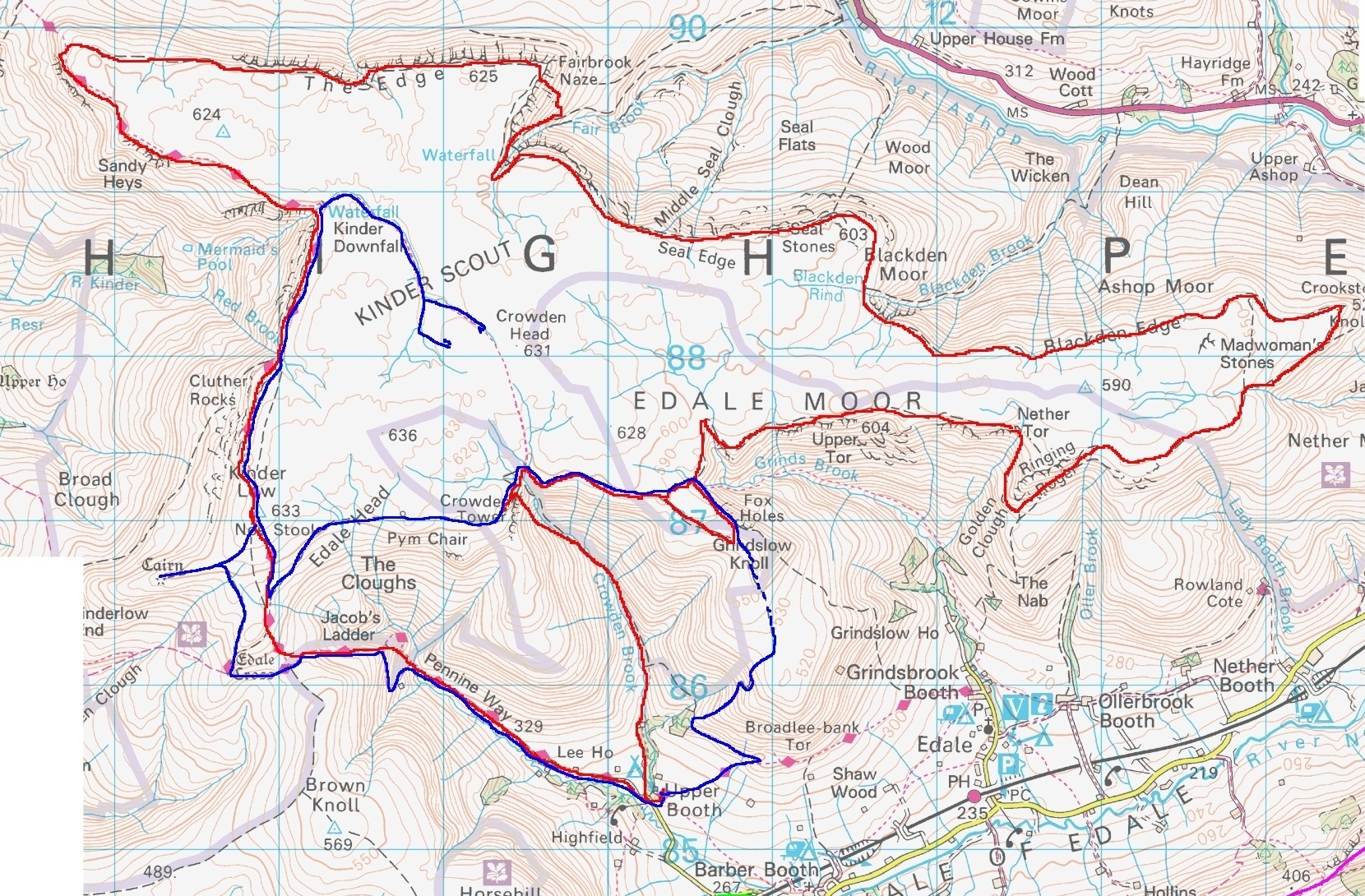
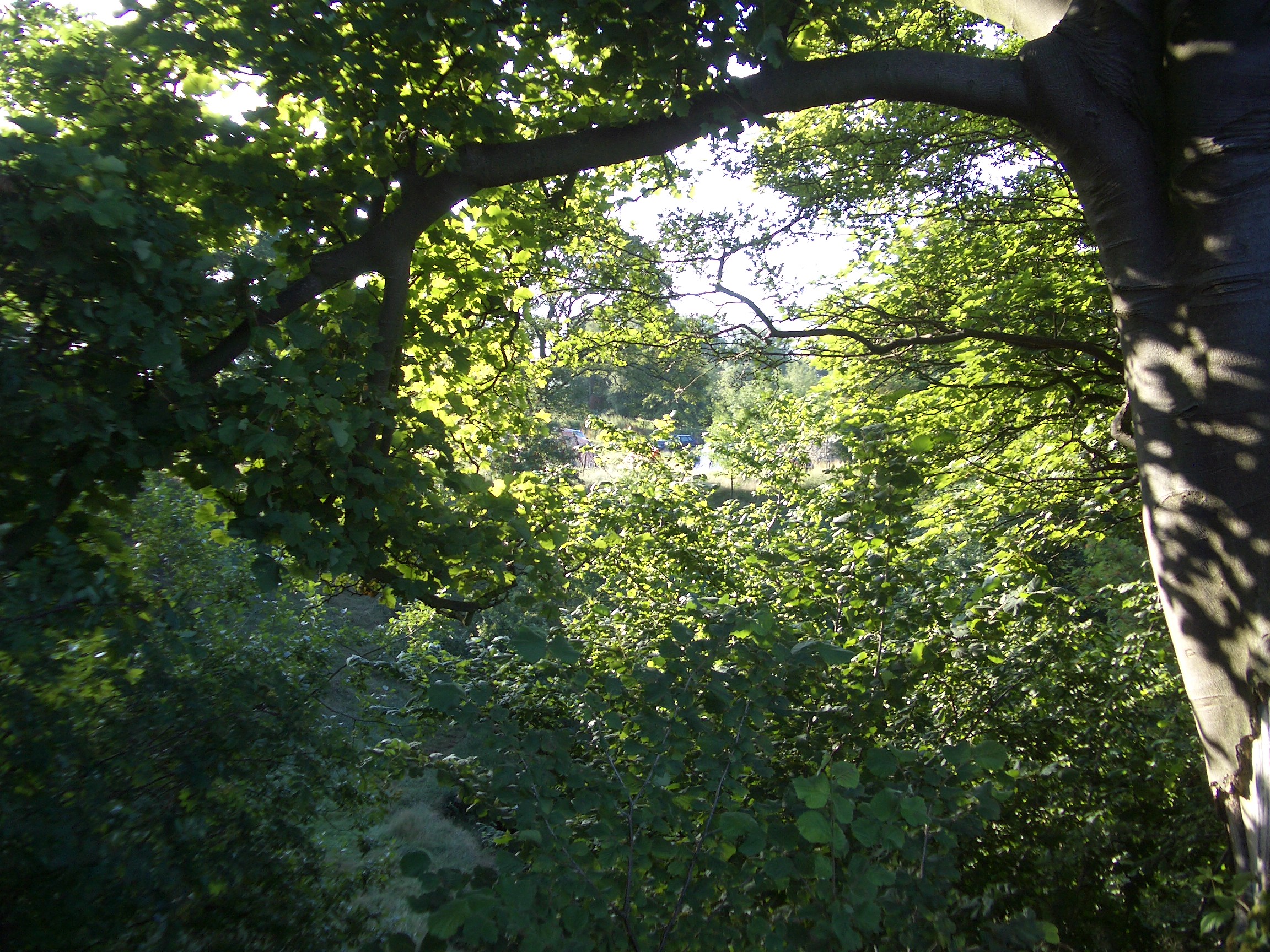
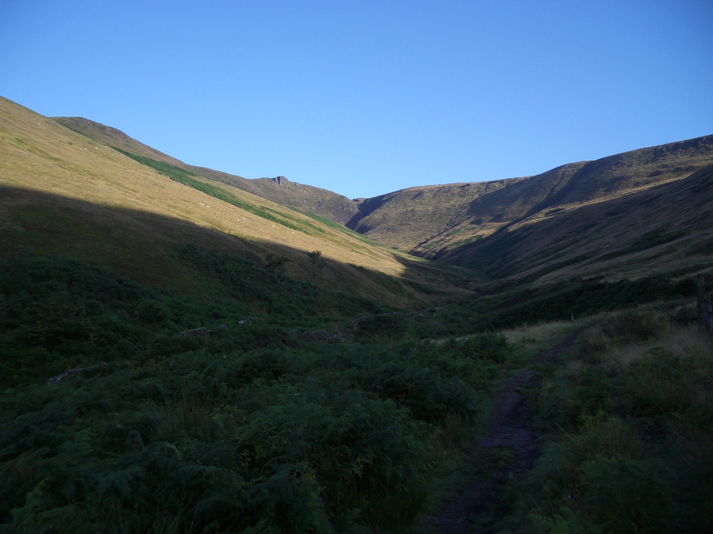
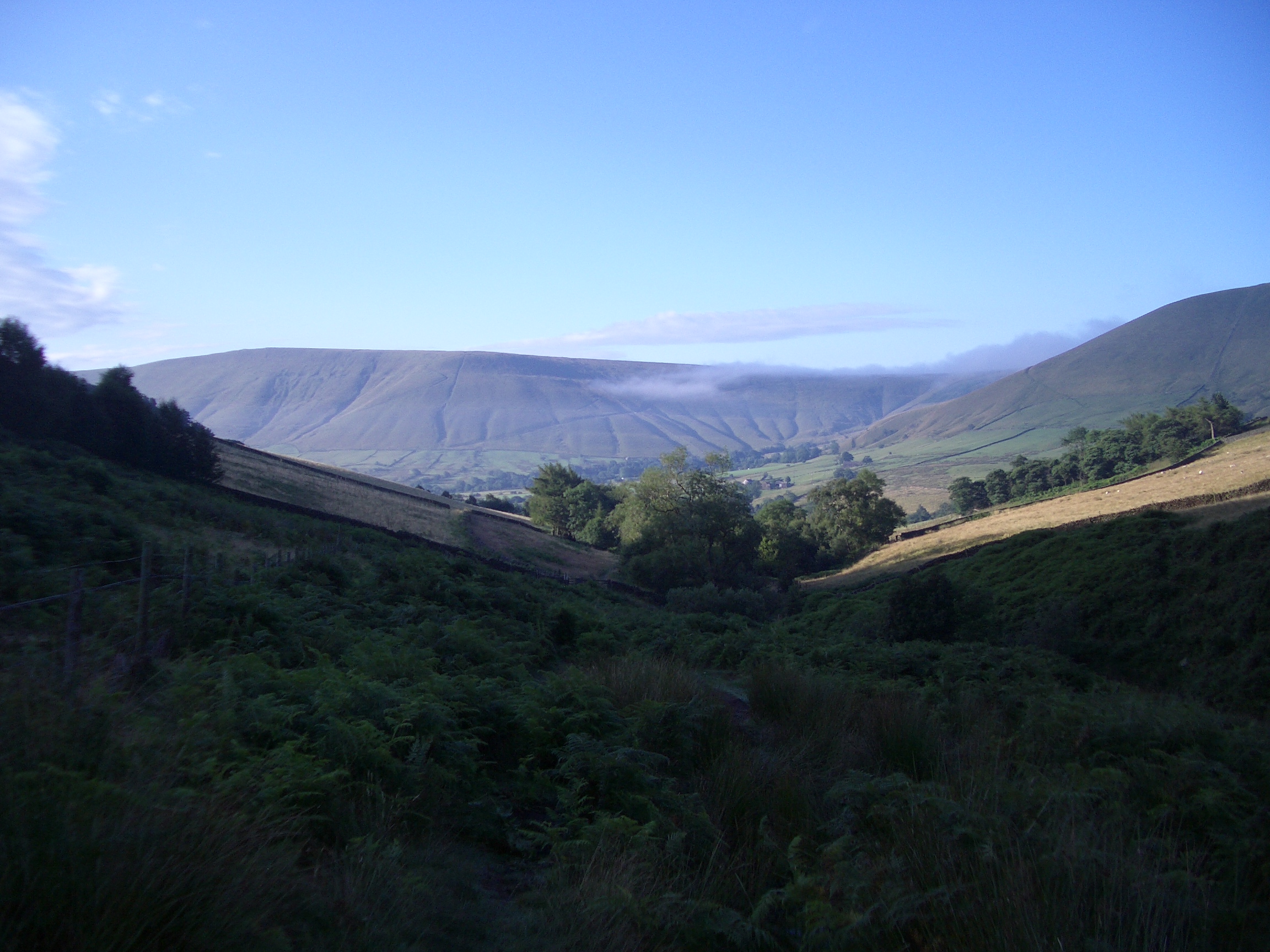
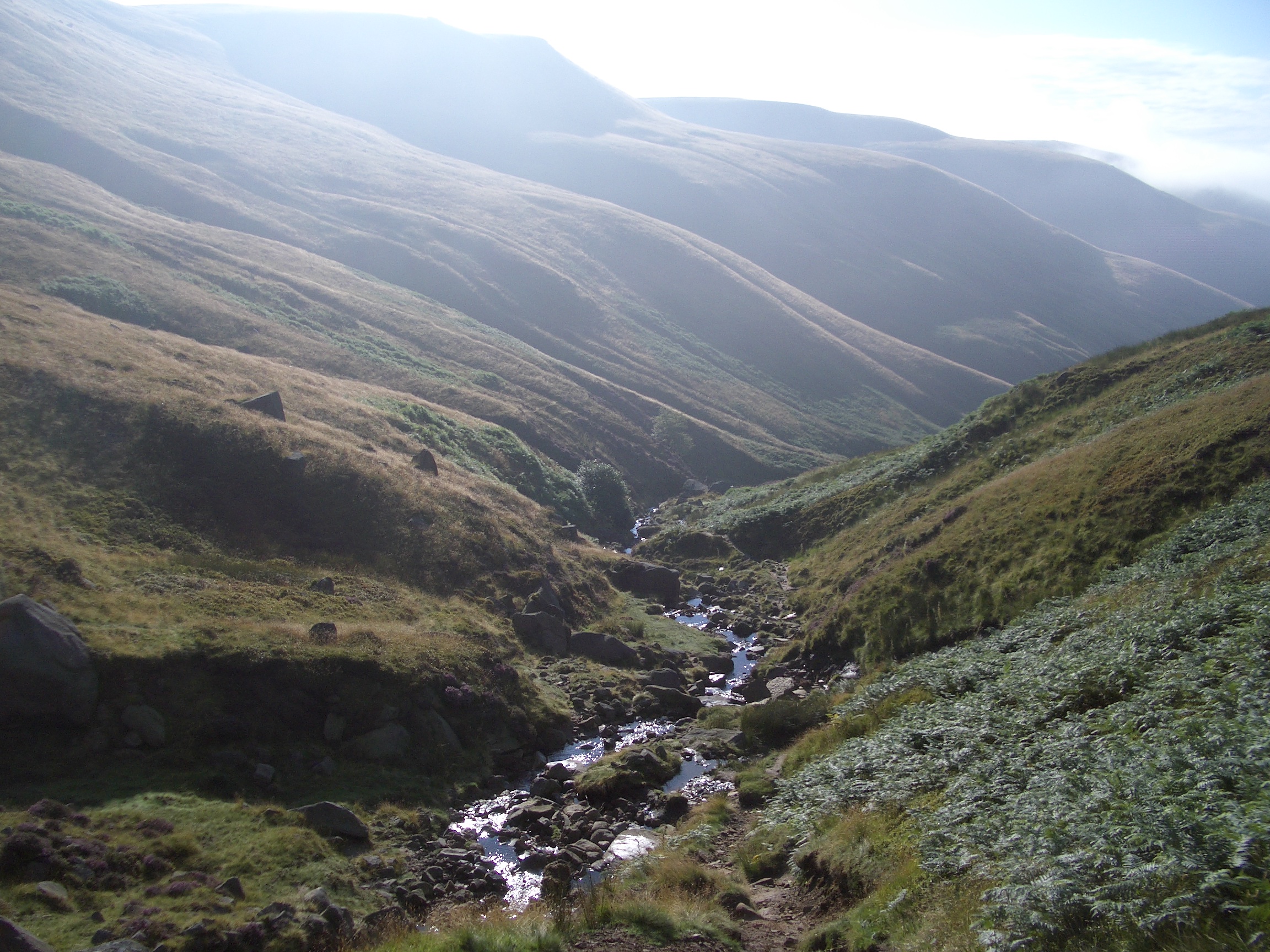
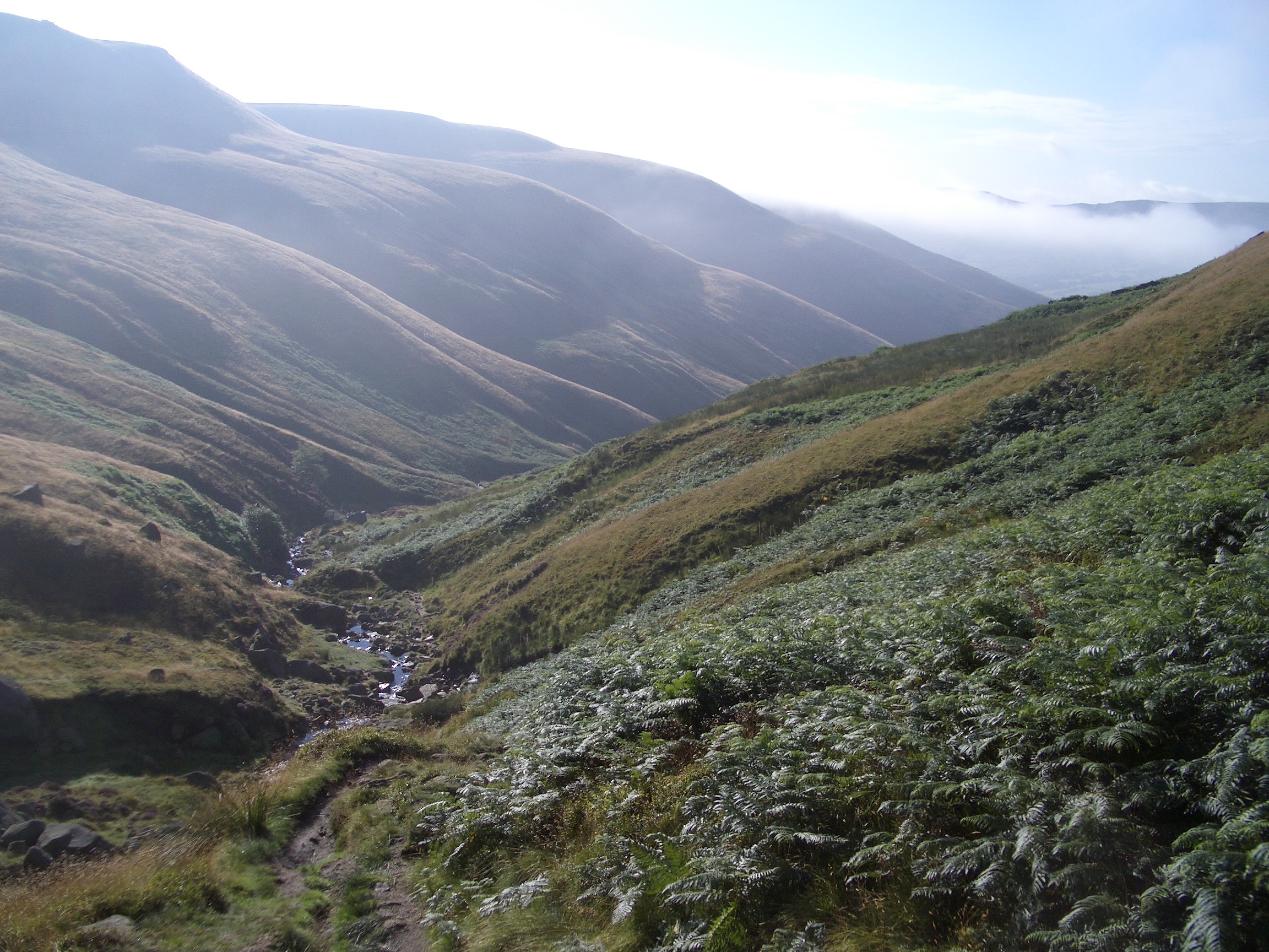
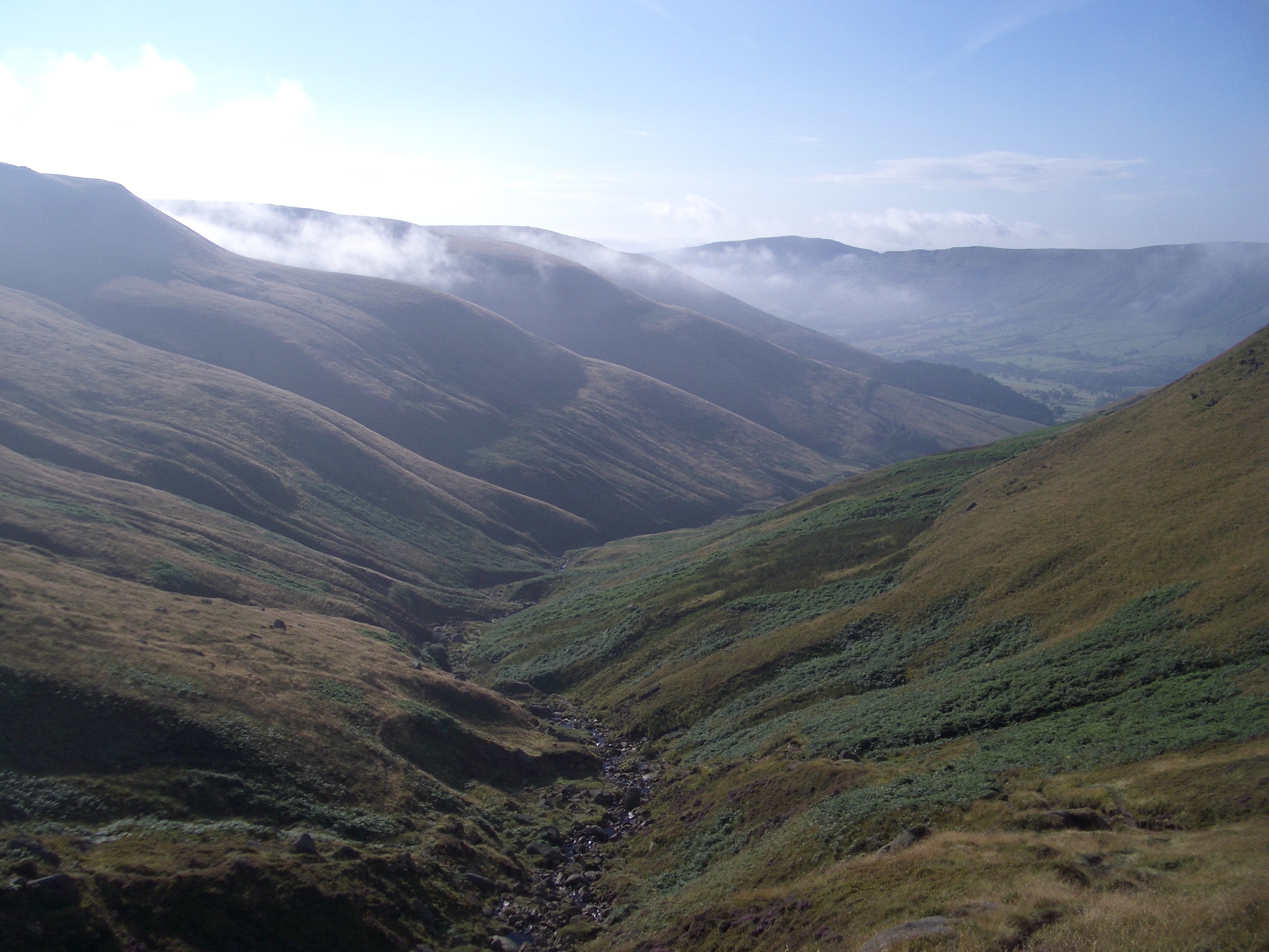
On 14th August I started out with the steep climb up Crowden Clough following the Crowden Brook. The first half-a-mile is pretty flat and wooded, but the gradient soon increases as the path becomes narrower and the woods give way to scrubland including gorse and heather.
|
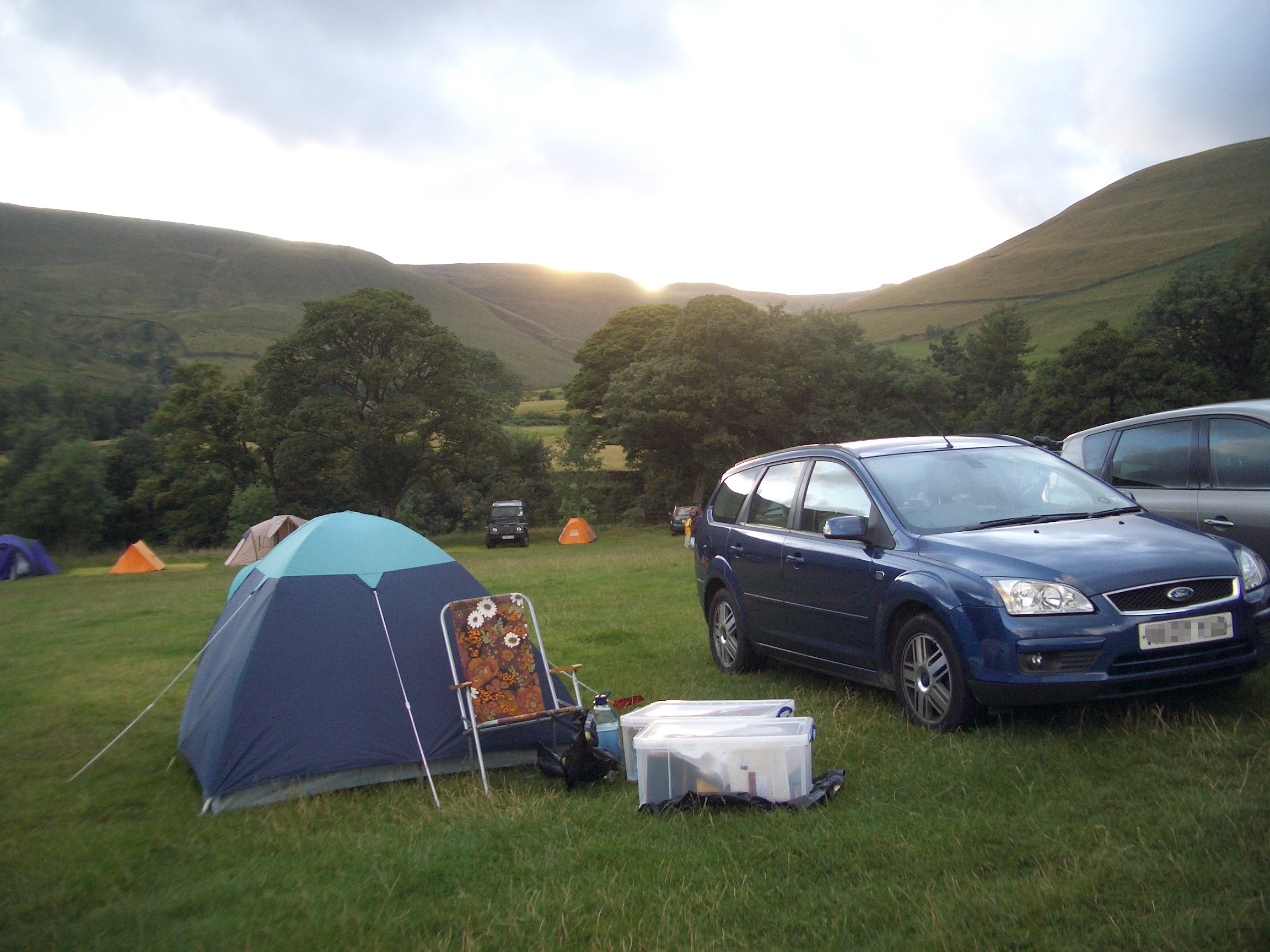
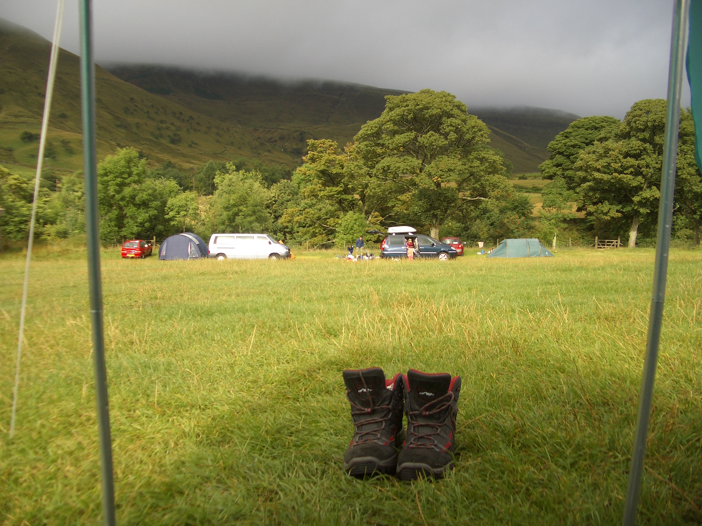
07:26 Camp site from other side of stream
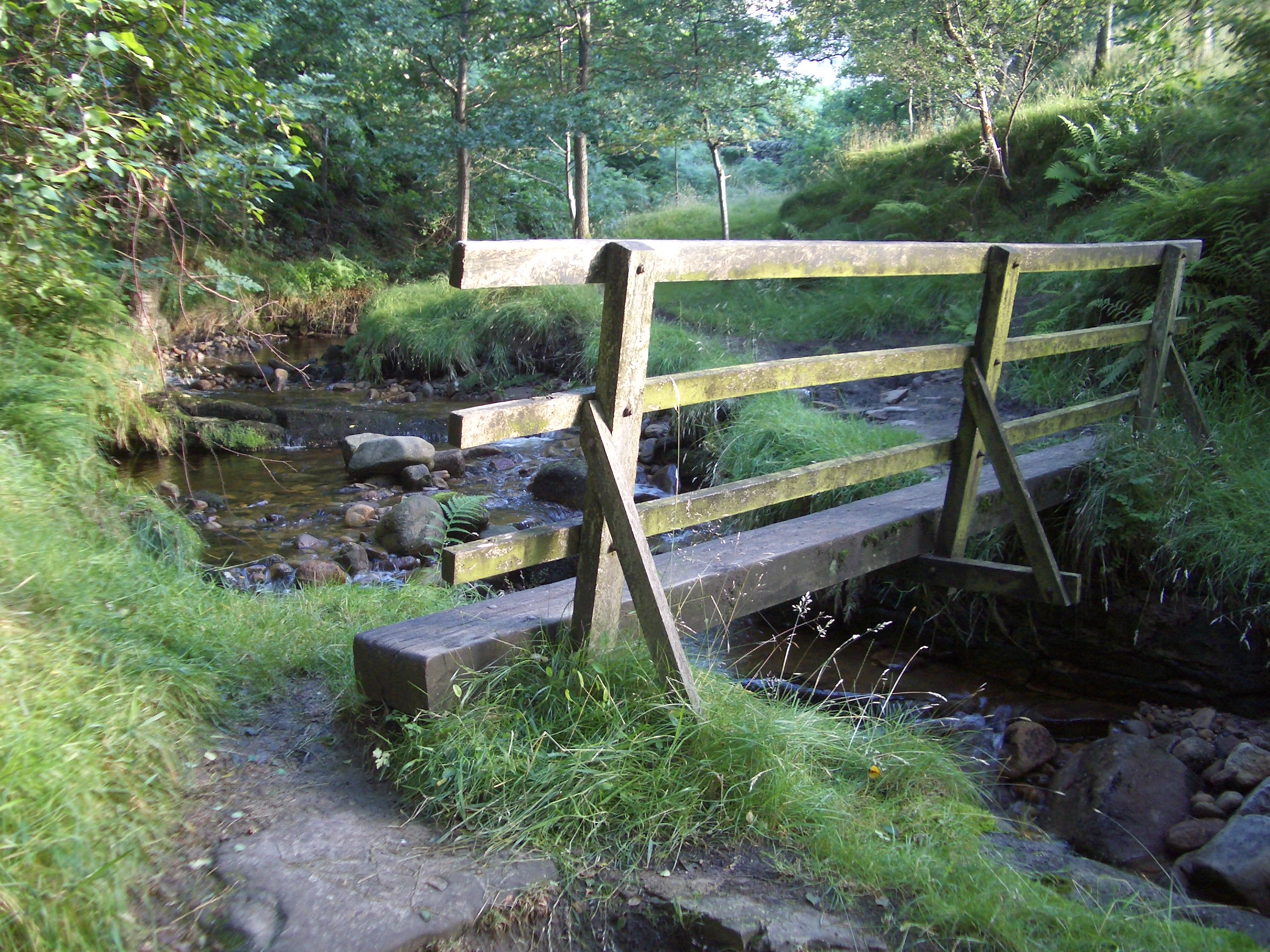
07:33 Bridge over Cowden Brook
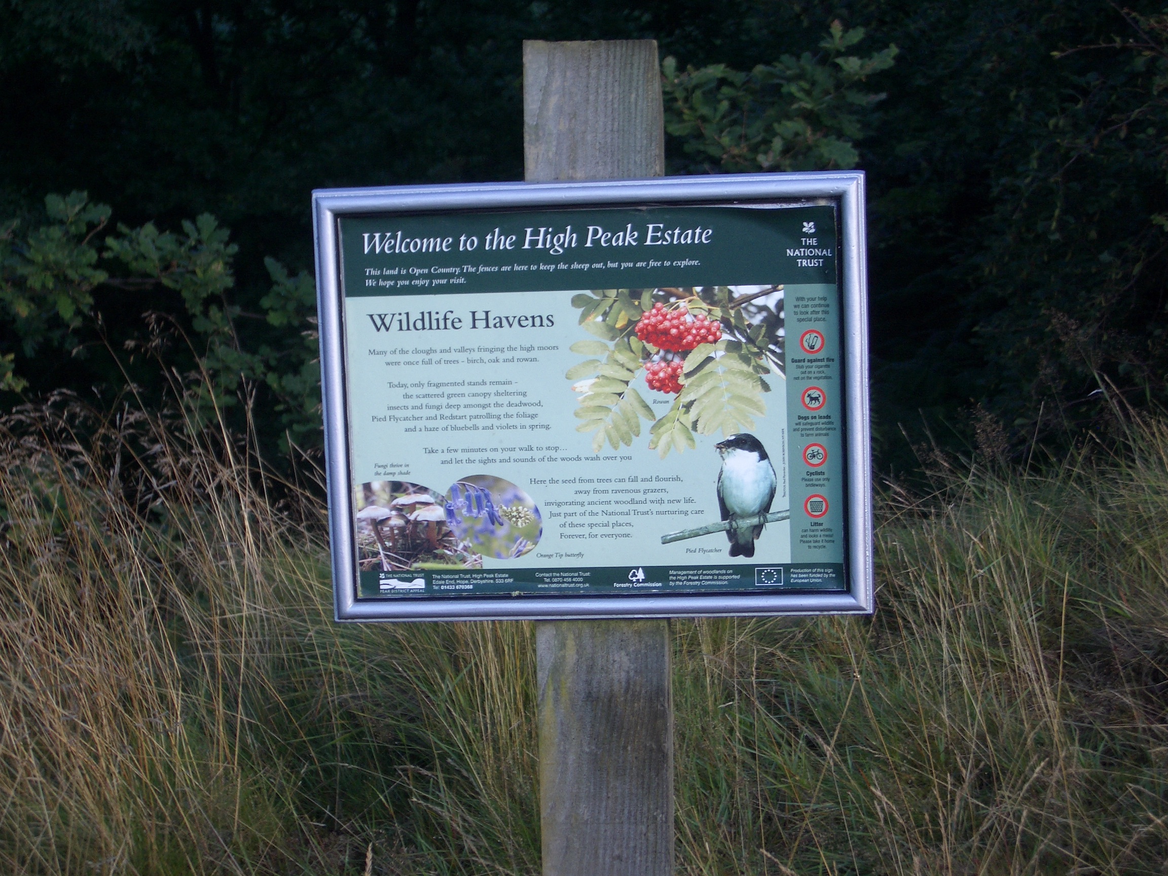
07:34 Sign by path
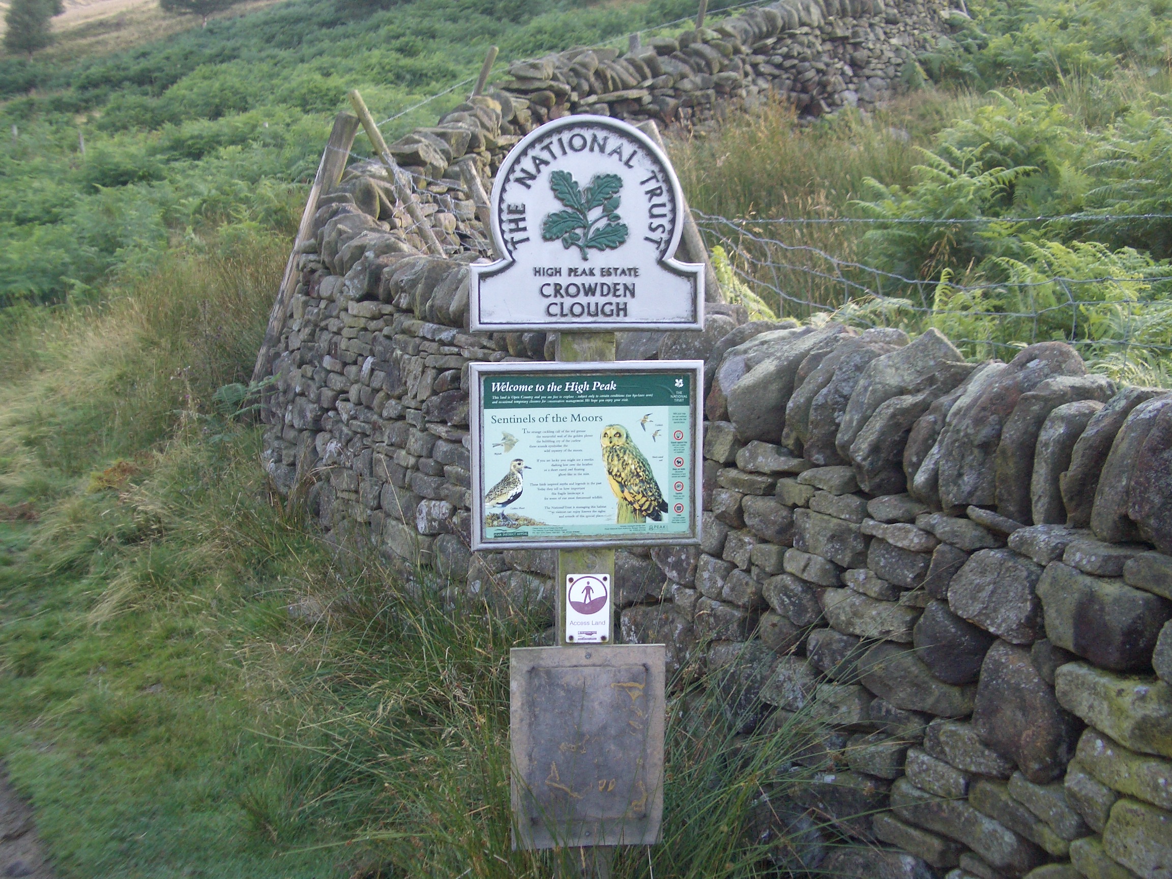
07:36 Sign by path
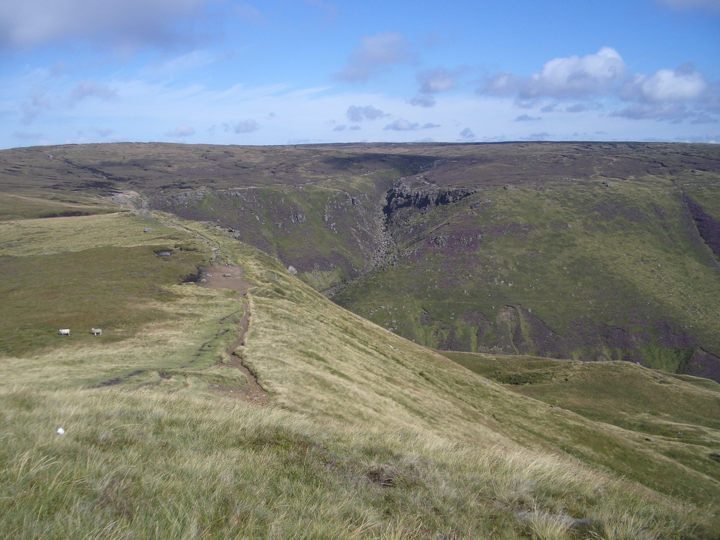
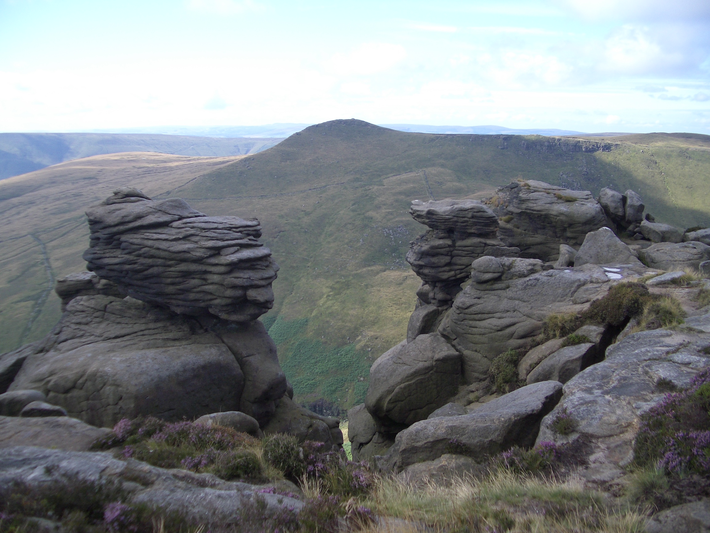
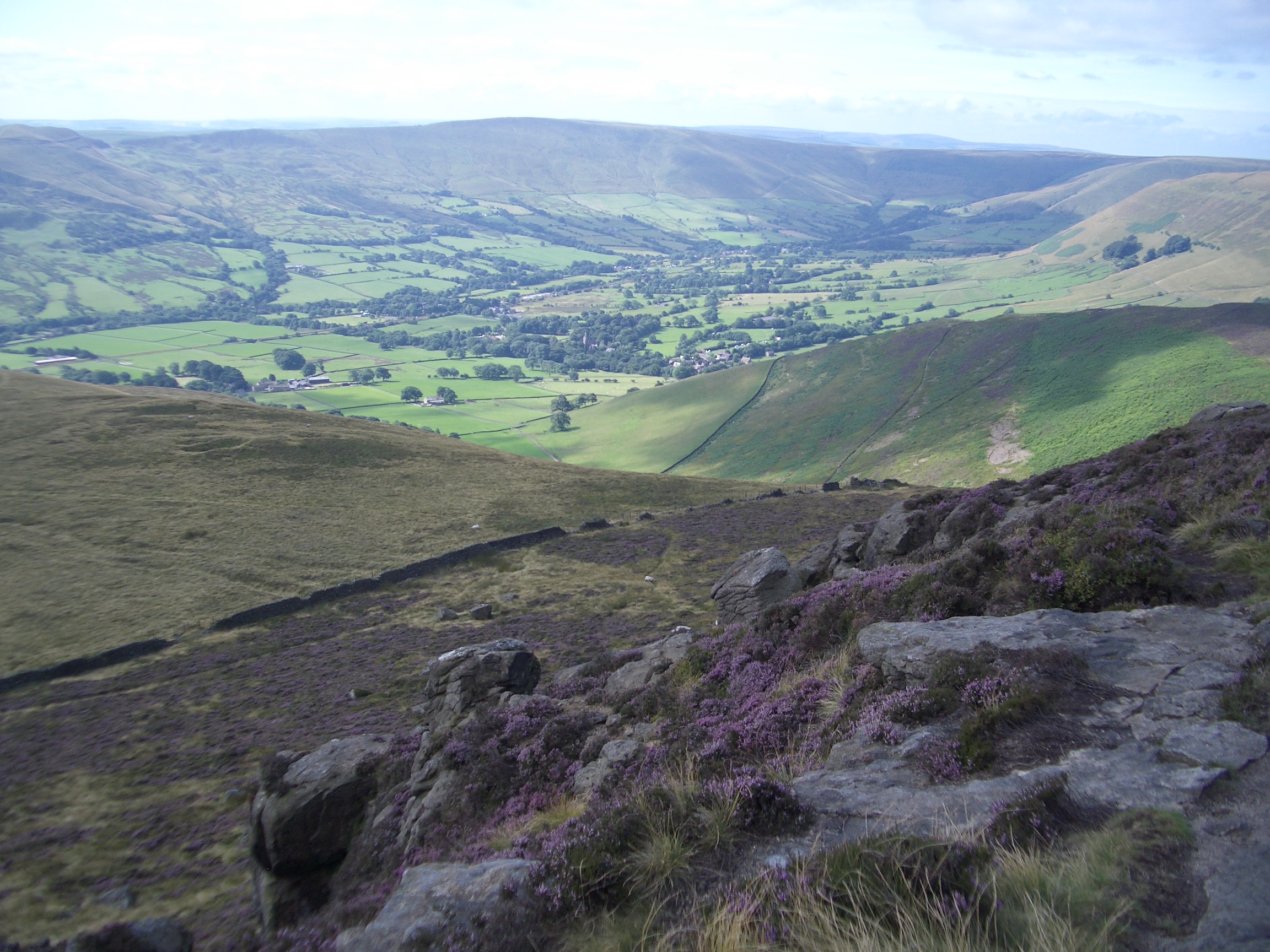
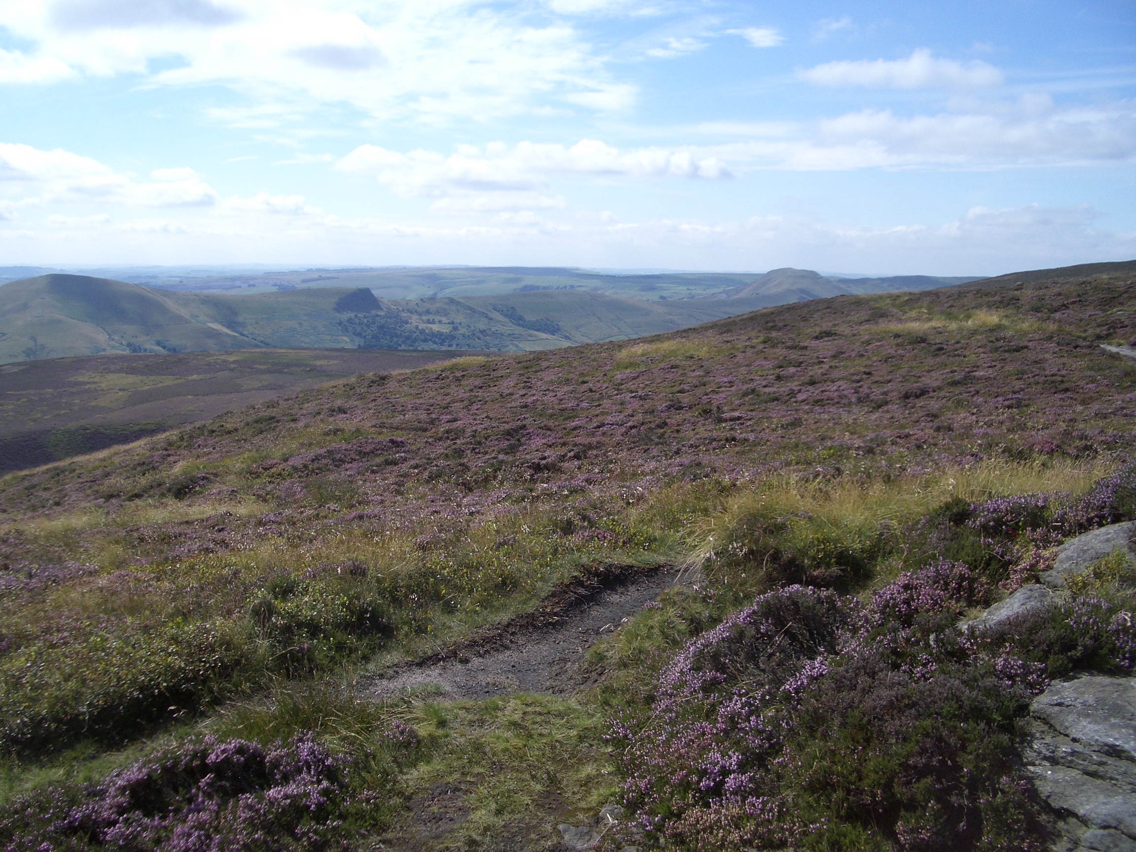
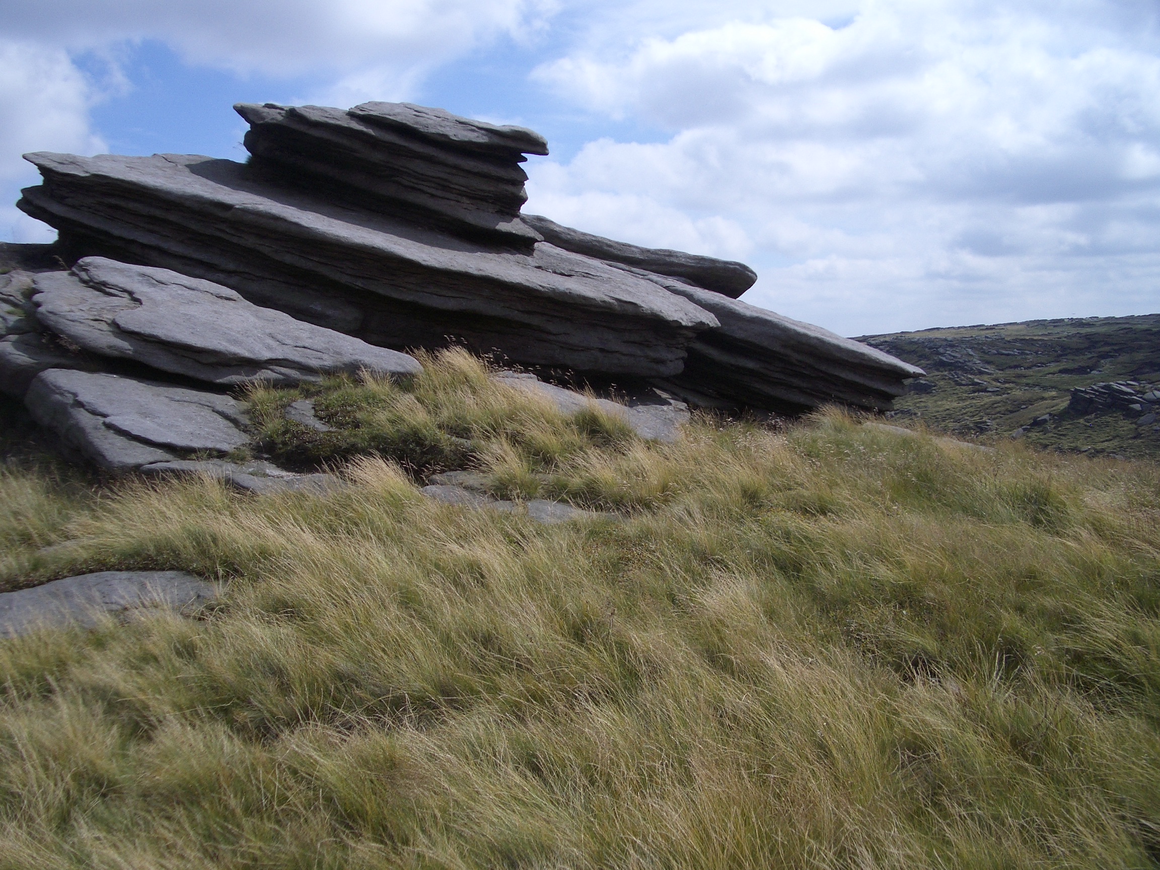
07:39 Looking up to Crowden Tower
07:39 Looking back to Upper Booth and Rushup Edge
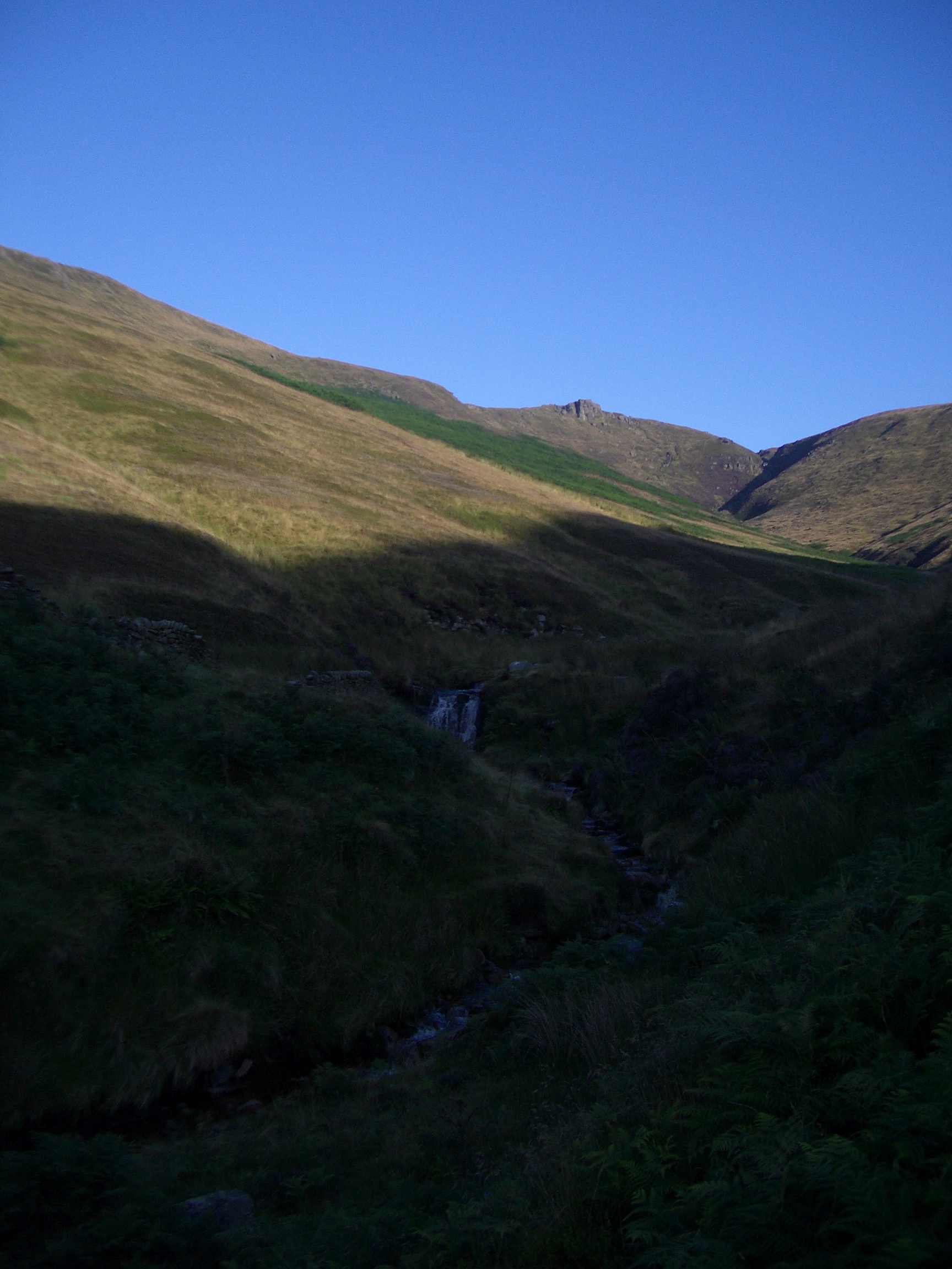
07:44 Looking up to Crowden Tower
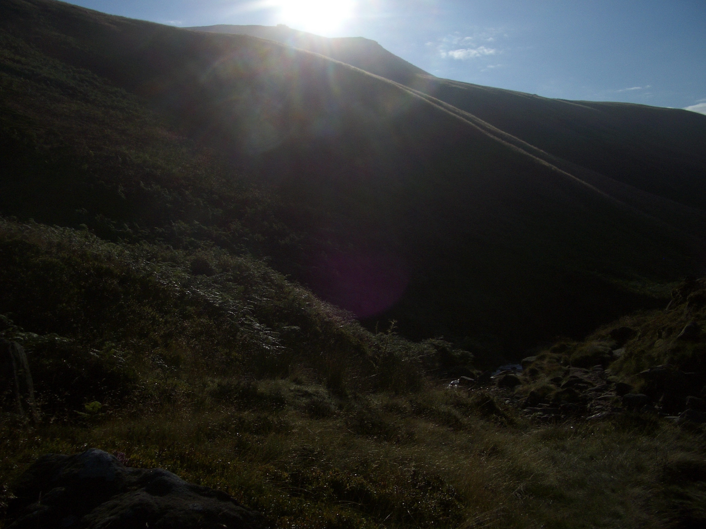
08:01 Sun rising over the hills
08:01 Sun rising over the hills
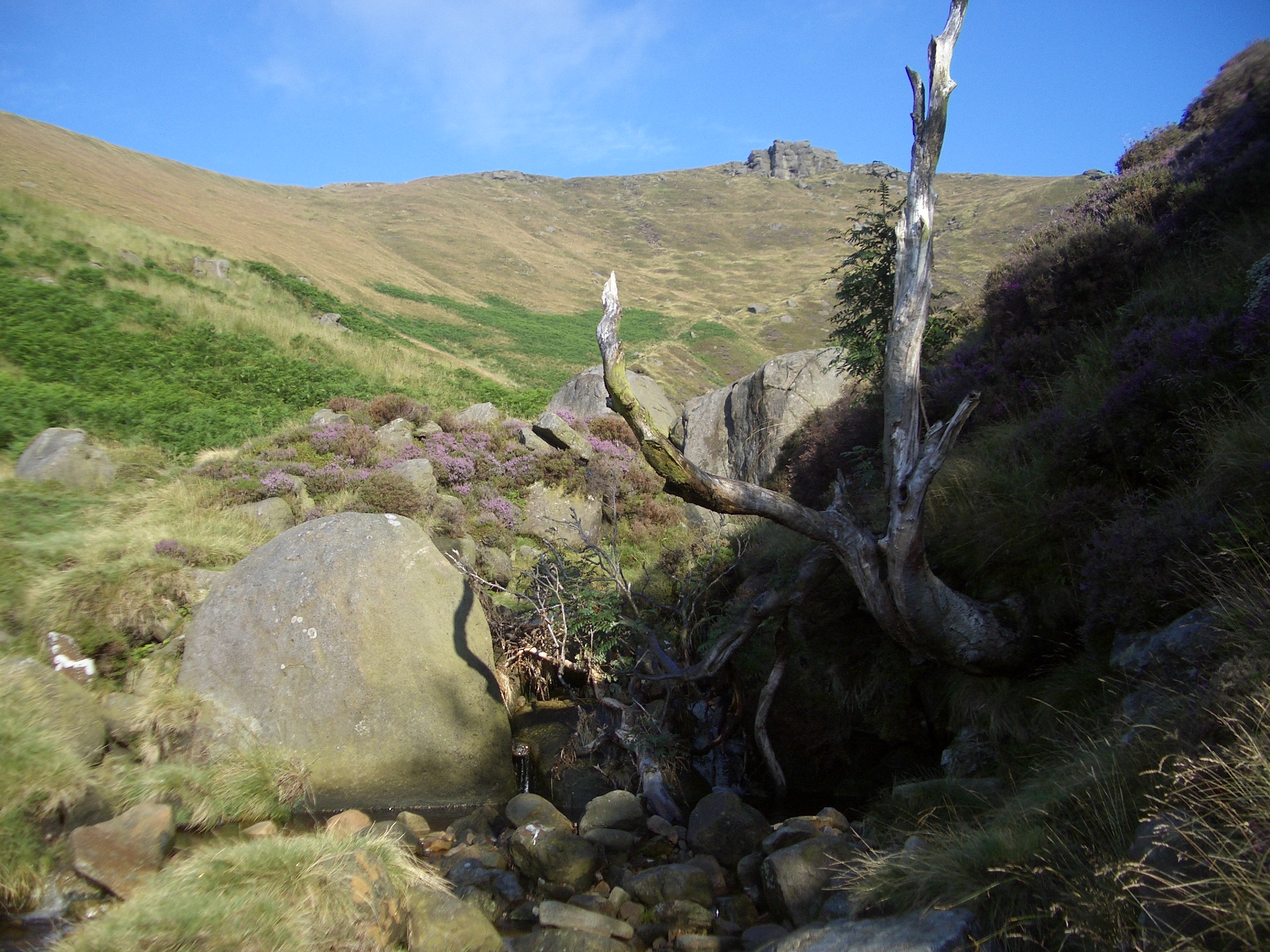
08:04 An old tree and Crowden Tower
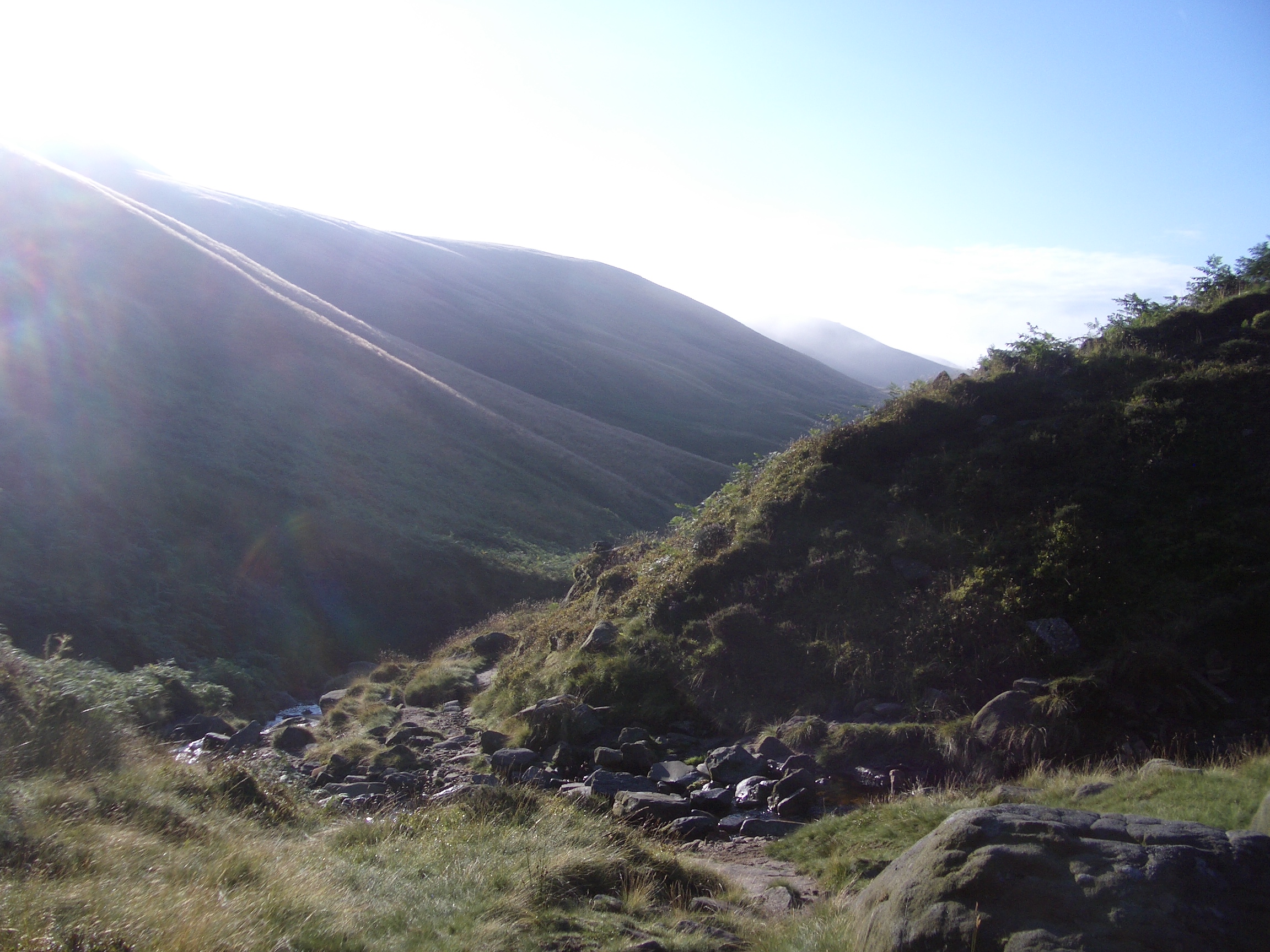
08:14 Morning mist in the clough
08:17 Cloud on the far hills
|
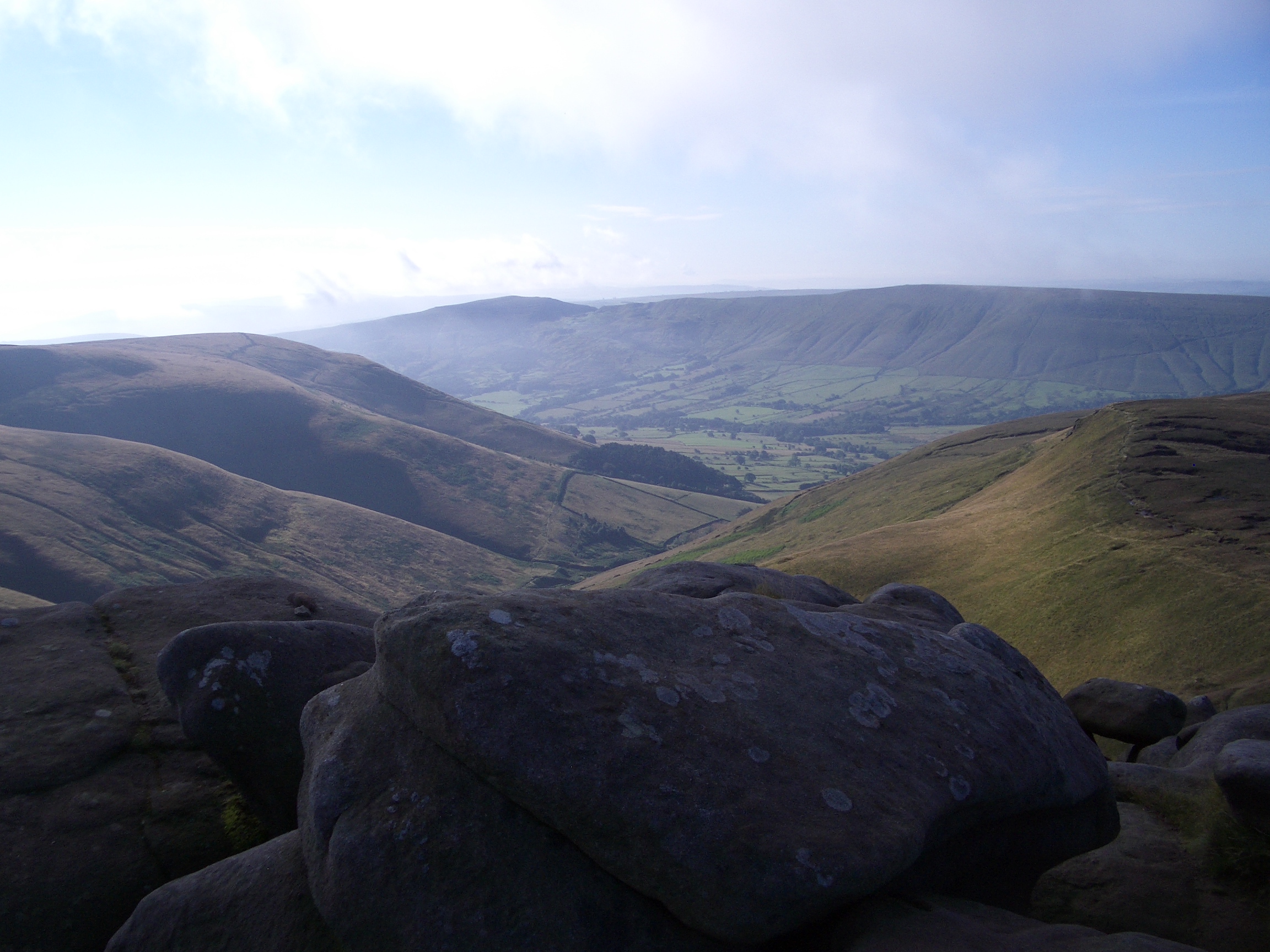
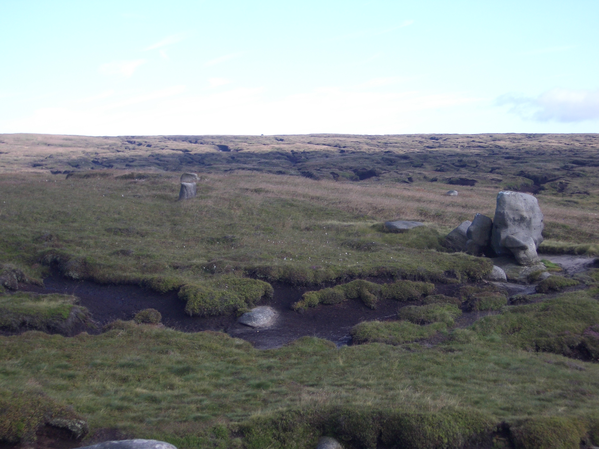
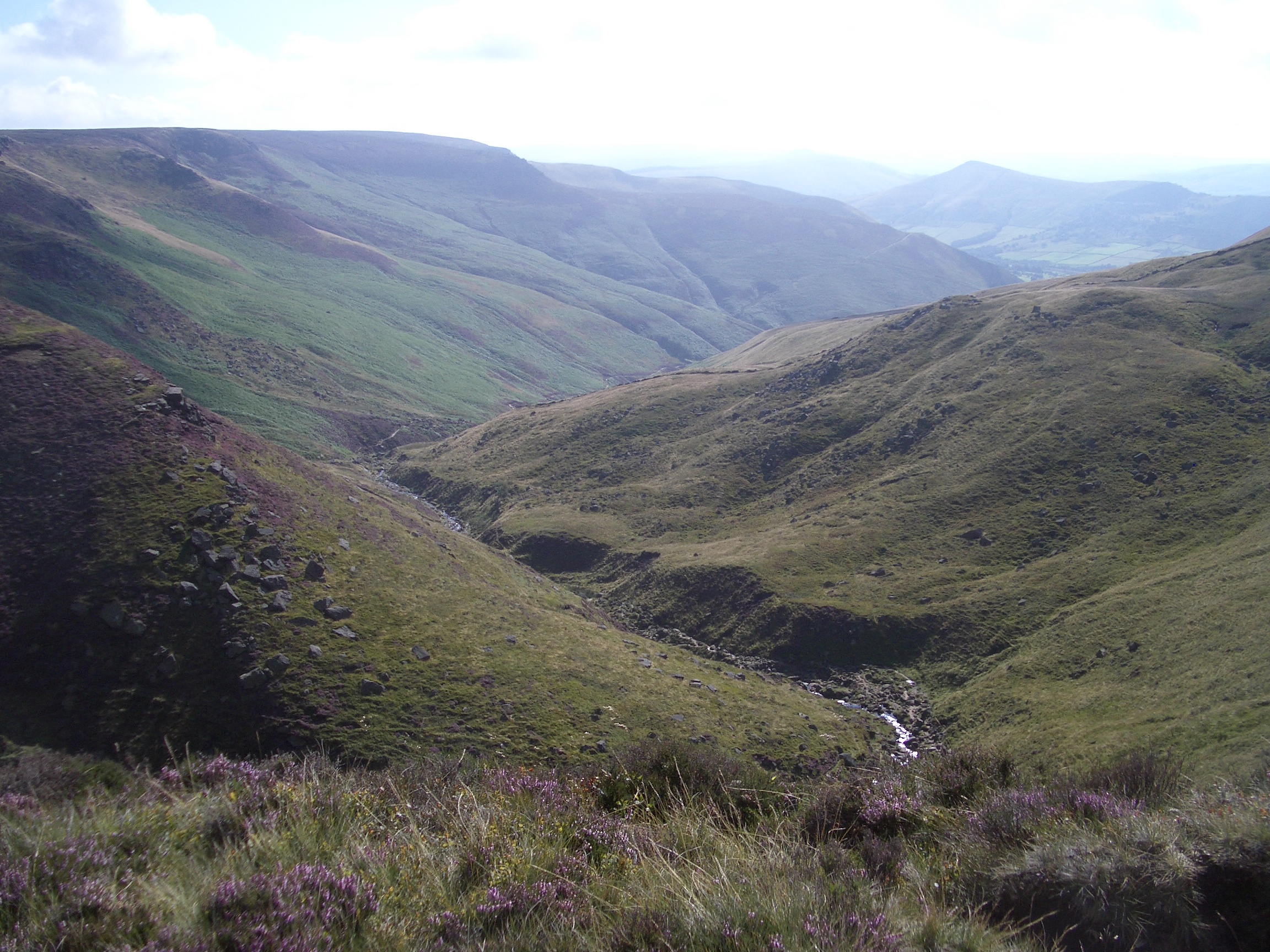
The last few hundred yards can be a scramble up the rocks of the stream, but I took an easier path slightly to the west and arrived at Crowden Tower where I stopped for breakfast by 8.45am, sat on a flat rock at the very top of Crowden Tower, with a magnificent clear view down the valley I had climbed up.
|

08:20 Getting near the top
08:26 Looking back down the clough
08:48 Breakfast on Crowden Tower
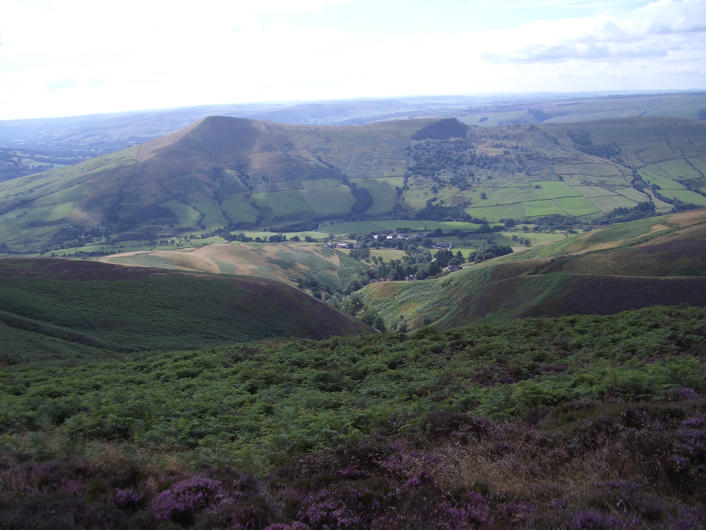
08:48 From Crowden Tower northwards - cairn at Crowden Head in distance
08:57 Down Crowden Clough
09:04 Campsite and Rushup Edge
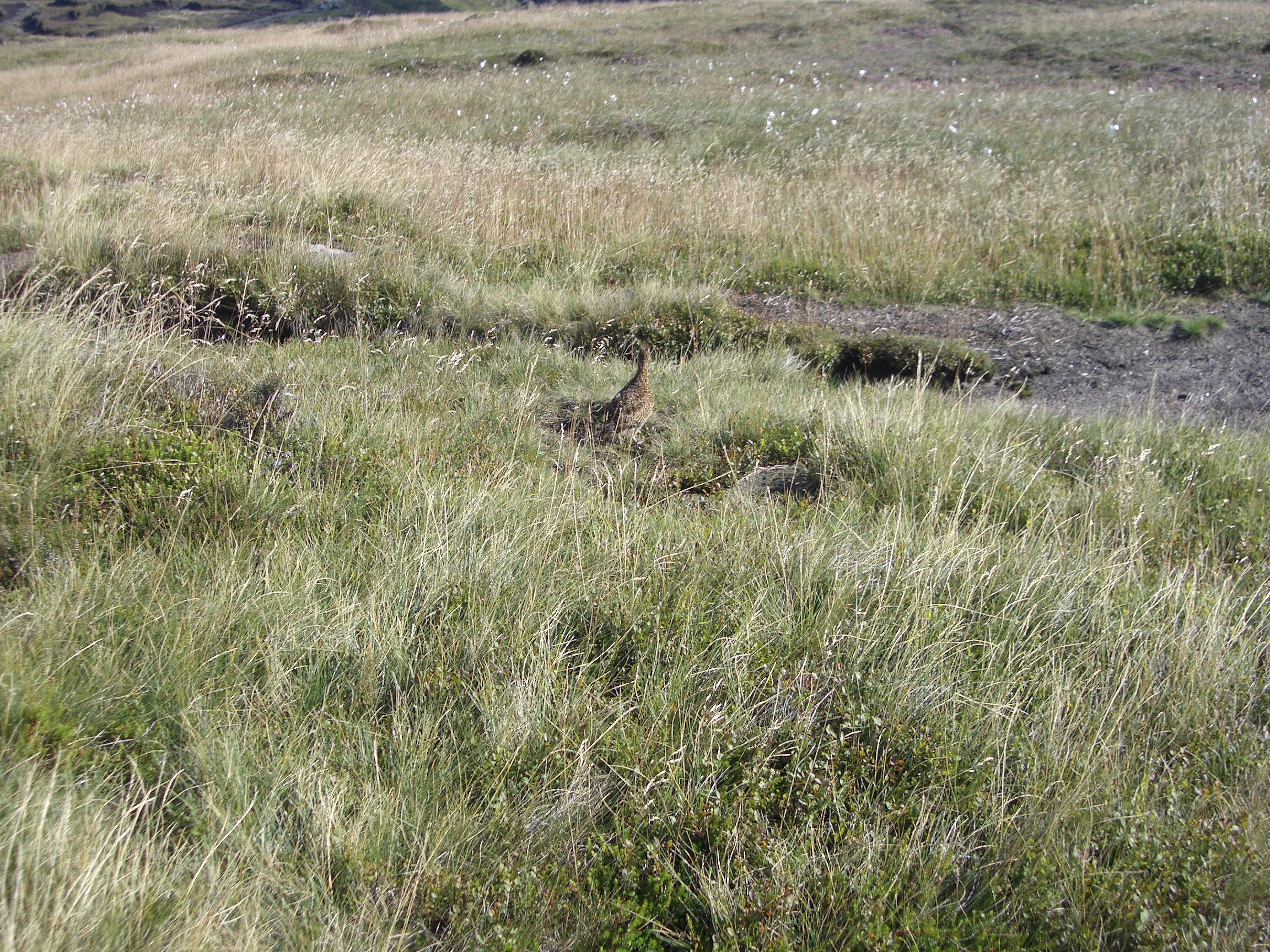
09:27 Grouse
|
I then headed eastwards along the edge path, for the first half-a-mile or so going along the same path as I walked the previous day, but in the reverse direction. This may have been the reason why I missed the junction of the edge path with the path coming up from Grindslow Knoll and only realised where I was by the time I reached the very head of the knoll, where I recognised the path that I had come up the previous day. This is probably the only place where the edge path does not follow the very edge of the plateau, it cuts across the top of the knoll. I should have realised that at a “Y” junction in the path, I should have taken the left-hand path, because no real paths cross over the top of the plateau.
|
09:41 Grindsbrook Clough from Grindslow Knoll
09:53 Down Grindsbrook Clough
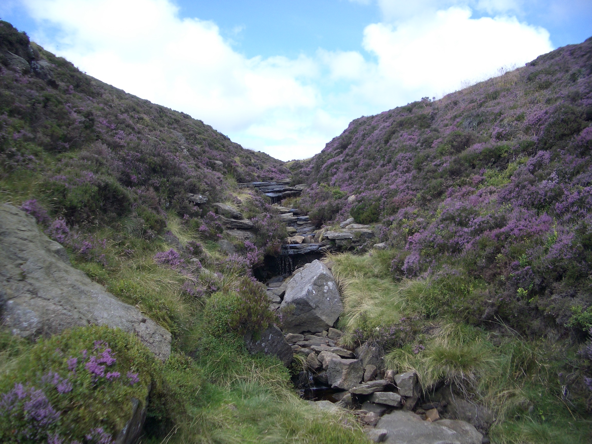
09:58 Stream going into Grindsbrook Clough
|
Once I realised where I was (I hadn’t bothered consulting a map or compass, because I didn’t know I was wrong!), I went right round the knoll and went westward to get back to the original junction that I missed. This added over half-a-mile to the total day’s walk, so was not a very good start.
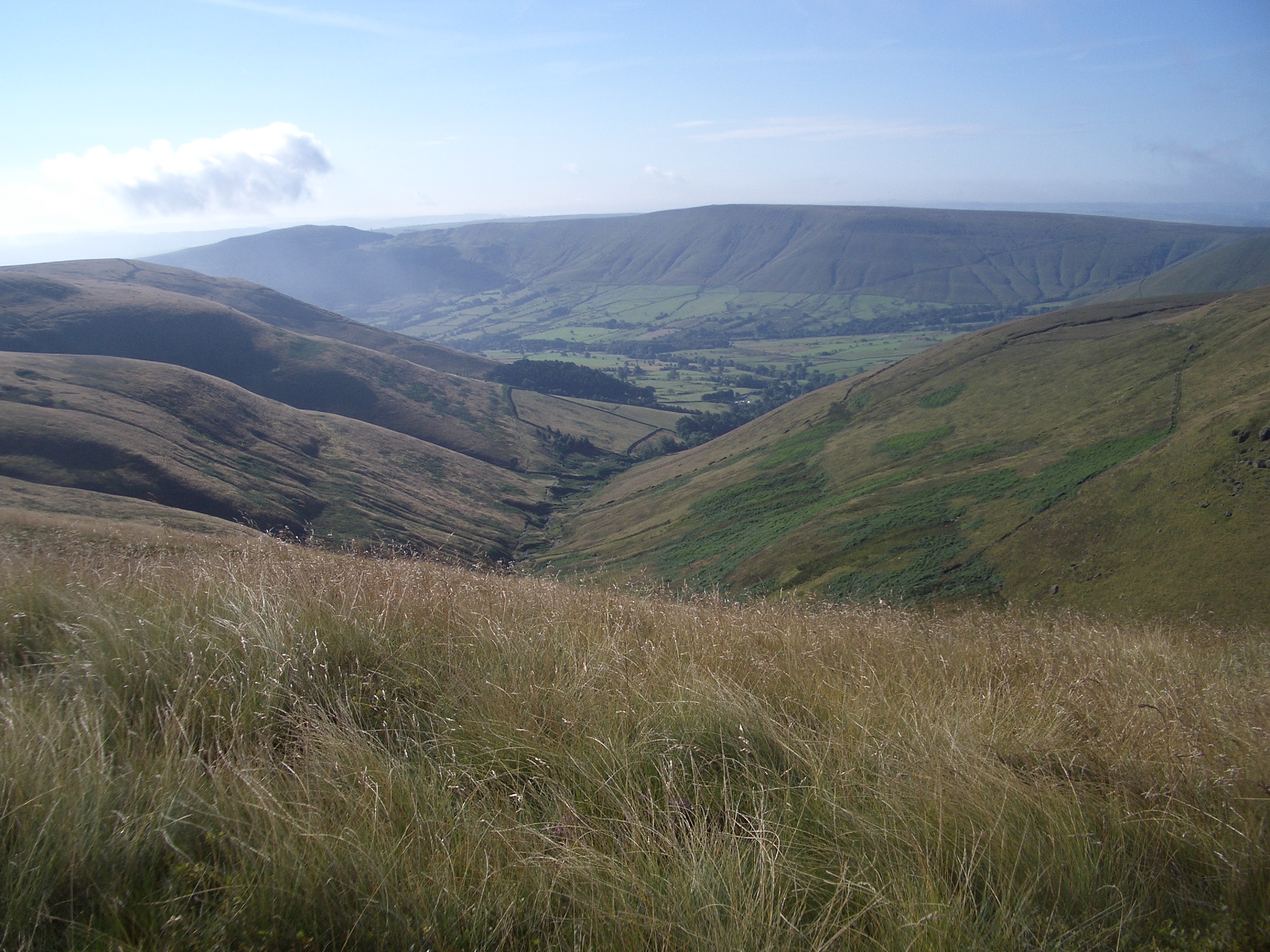
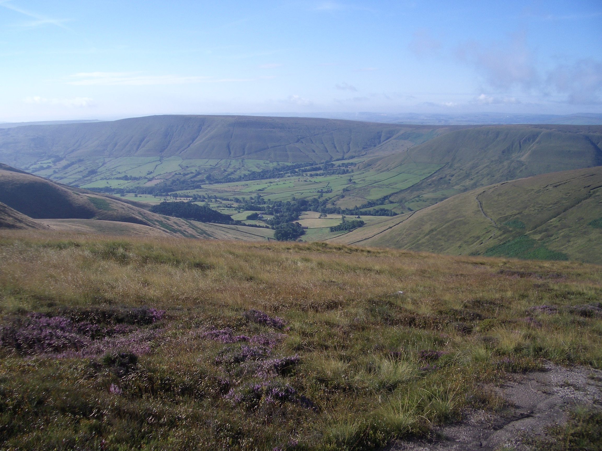
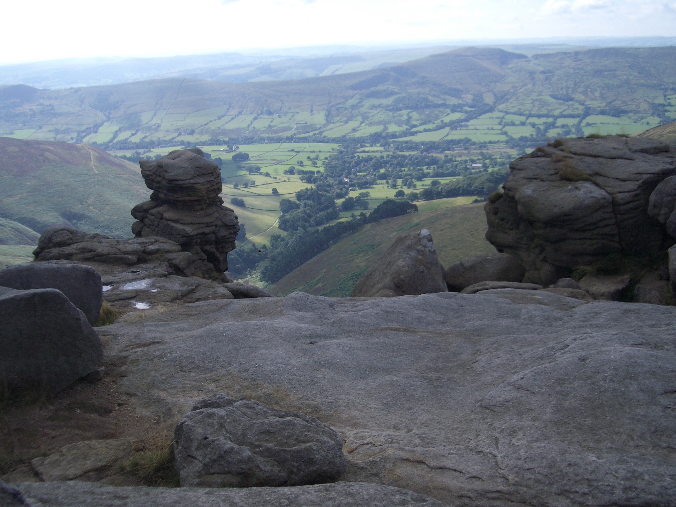
I continued eastward on the edge path, past the easily-recognised “Ringing Roger” stones, which I had visited on a previous holiday. There are some good views over Edale and beyond.
|
10:13 Ringing Roger
10:14 Ringing Roger
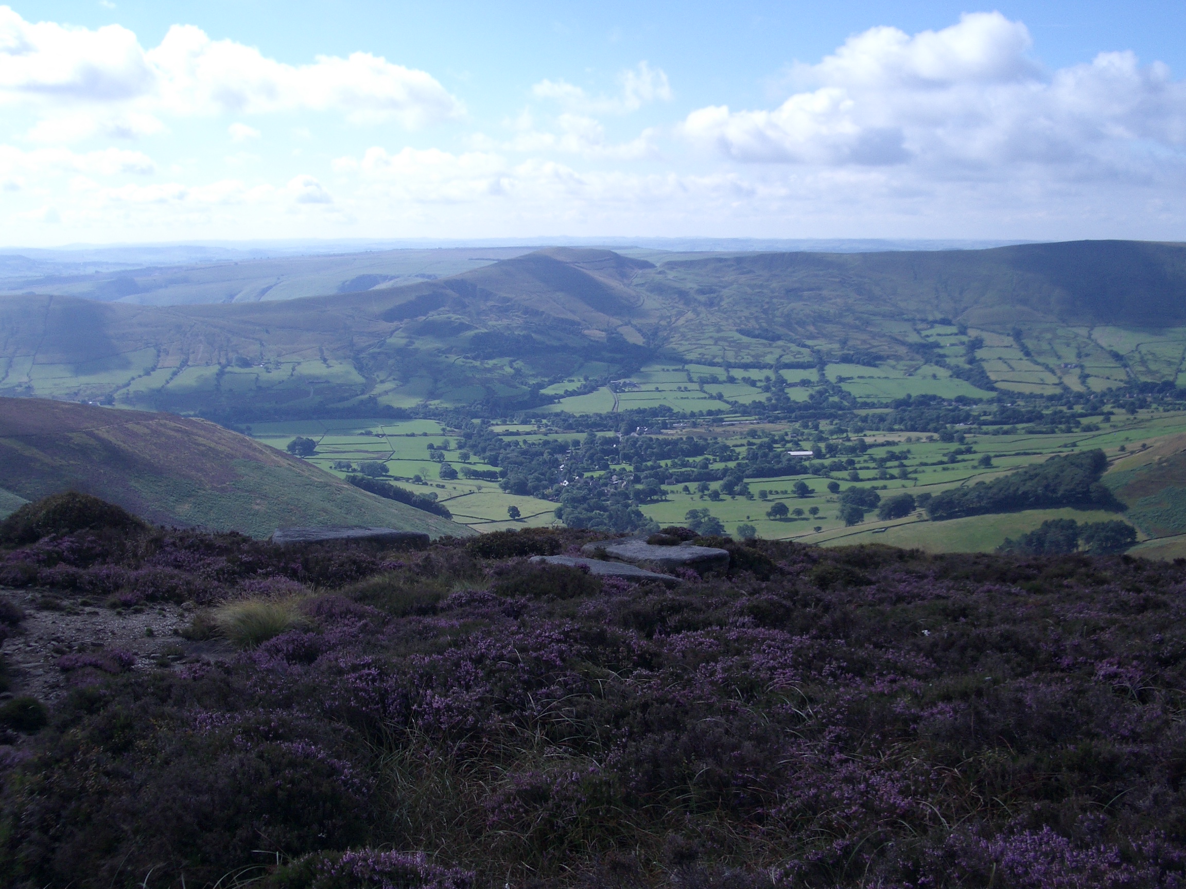
10:22 Edale
|
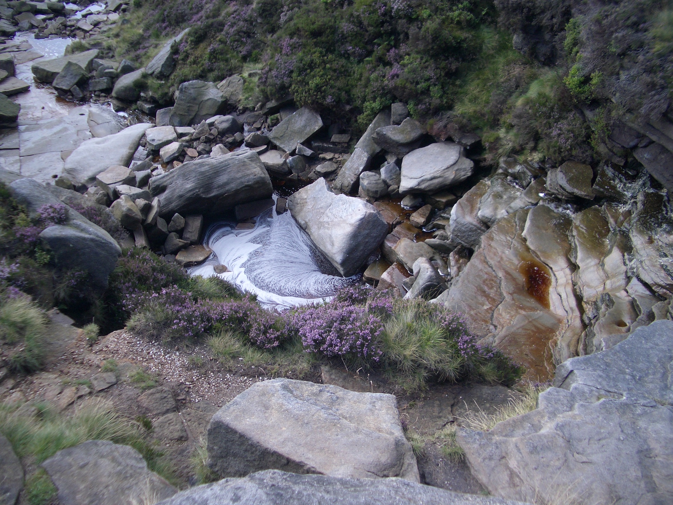
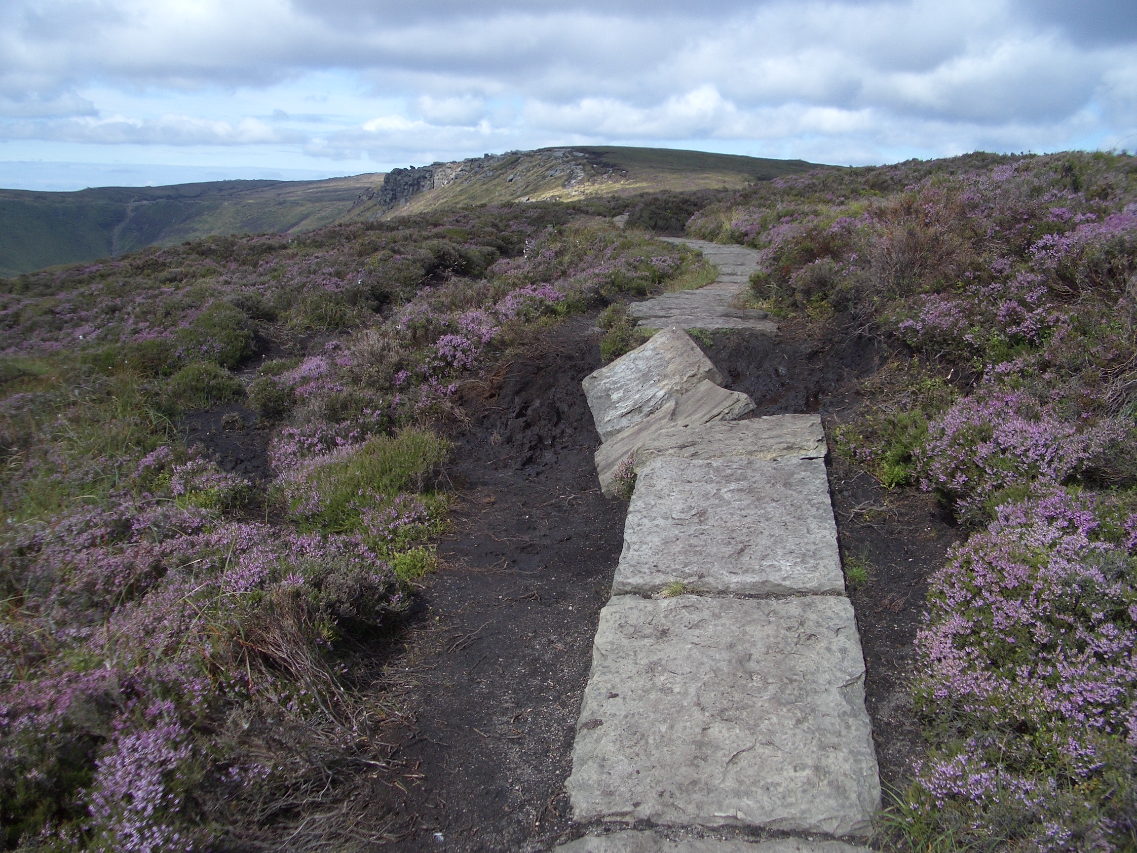
Not all of the path was like this with slabs to walk on, some was quite muddy, and there were a few streams to cross. This bit of the path had been damaged by water.
|
10:23 Broken path
10:44 The Nab and Vale of Edale
10:51 Vale of Edale
|
Lady Booth Brook and Jaggers Clough were two streams I crossed before reaching the eastmost point of the path.
|
10:58 Lady Booth Brook to Nether Booth with Back Tor and Lose Hill behind
11:08 Up Jaggers Clough
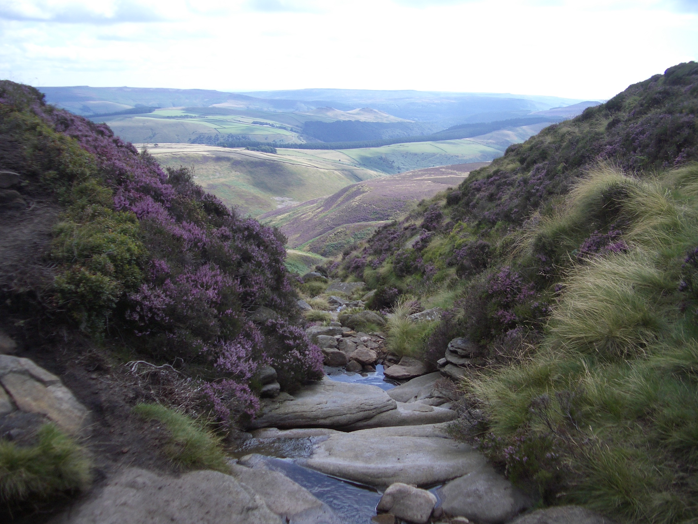
11:08 Down Jaggers Clough
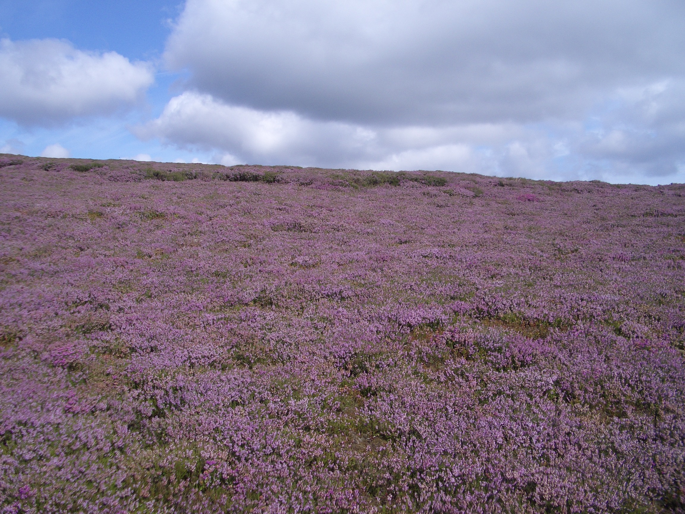
11:14 Heather by path
|
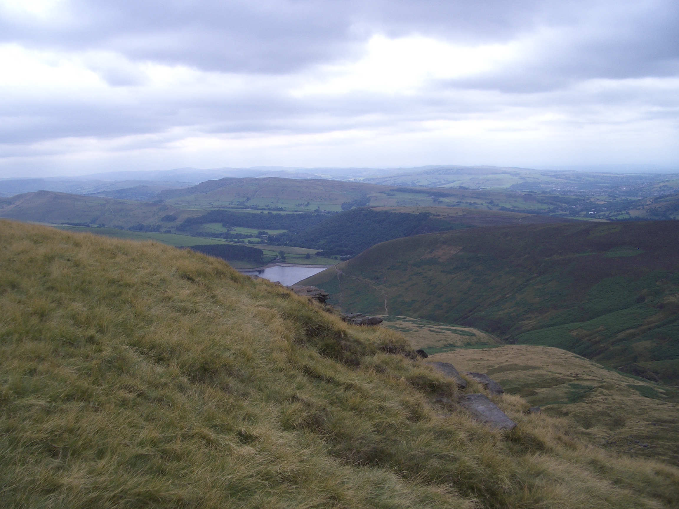
As I reached the eastmost point, Ladybower Reservoir, that I had visited in 2009, came into view.
|
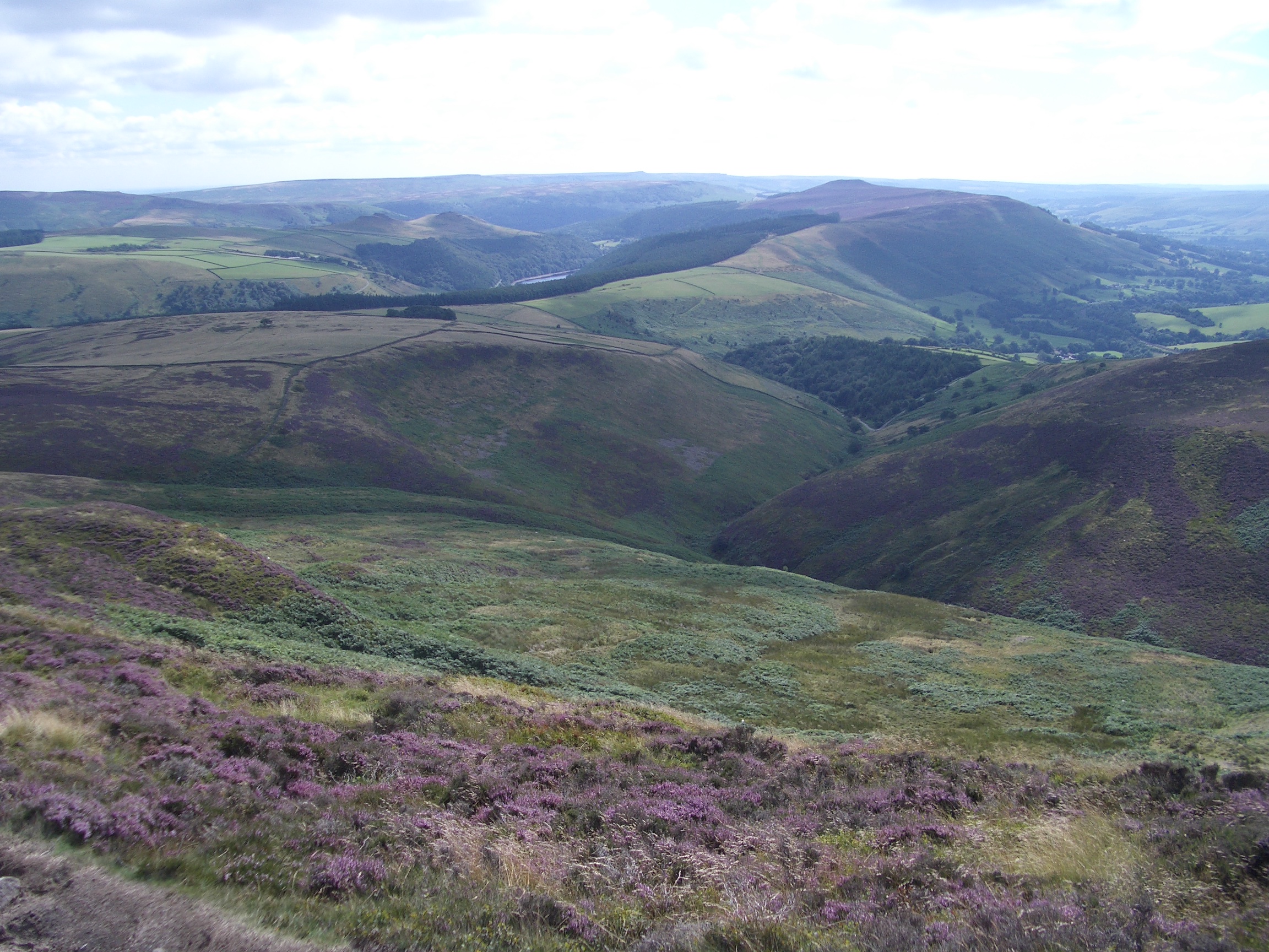
11:14 Looking east, Ladybower Reservoir comes into view
|
Shortly afterwards, around 11.20am, I reached the amazing 270-degree panoramic view from Crookstone Knoll where I lingered to take several photographs.
|
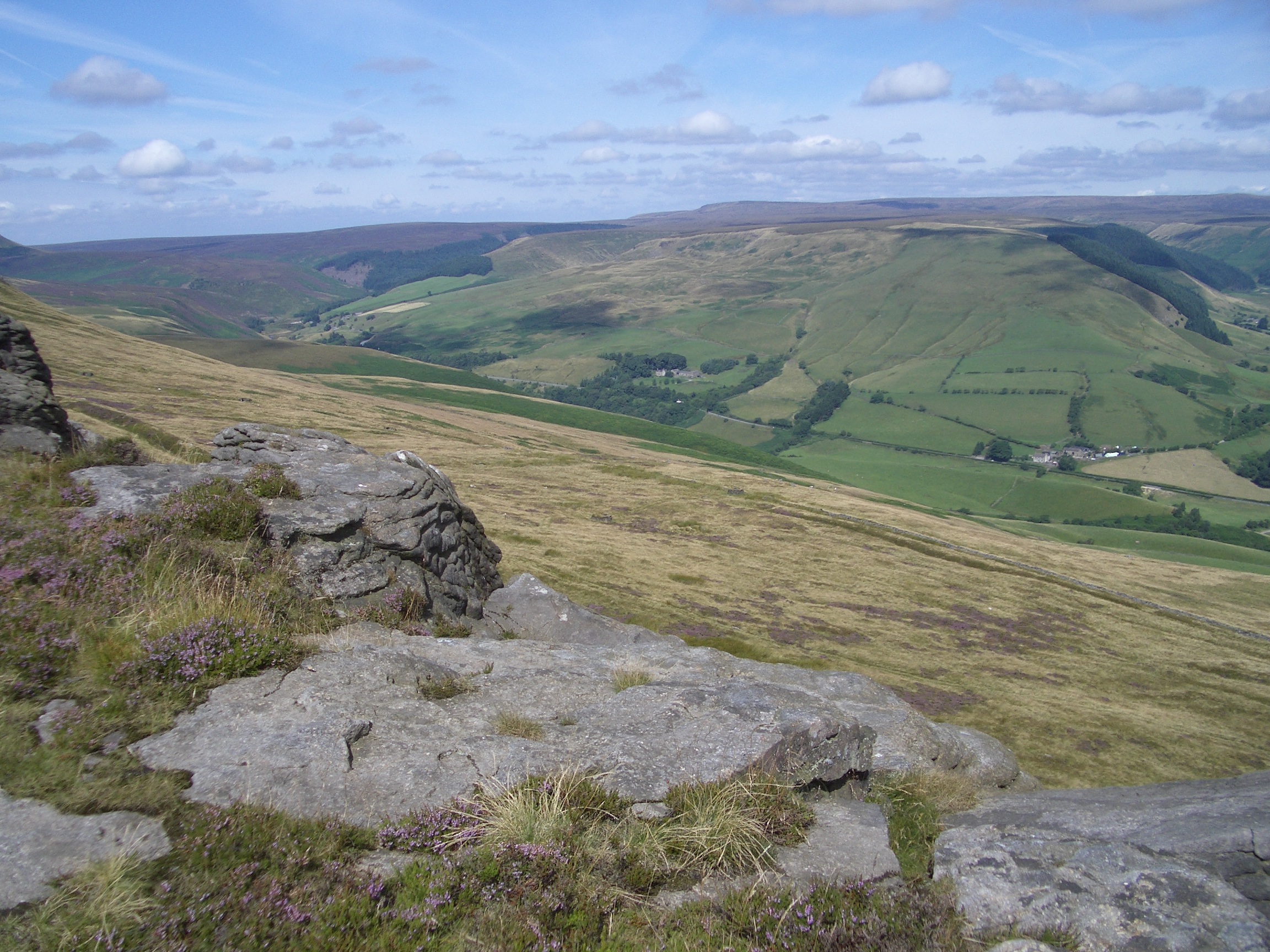
11:21 Snake Pass from Crookstone Knoll
11:21 East from Crookstone Knoll
.JPG)
11:22 North-east from Crookstone Knoll (Rowlee Farm)
11:22 South from Crookstone Knoll
|
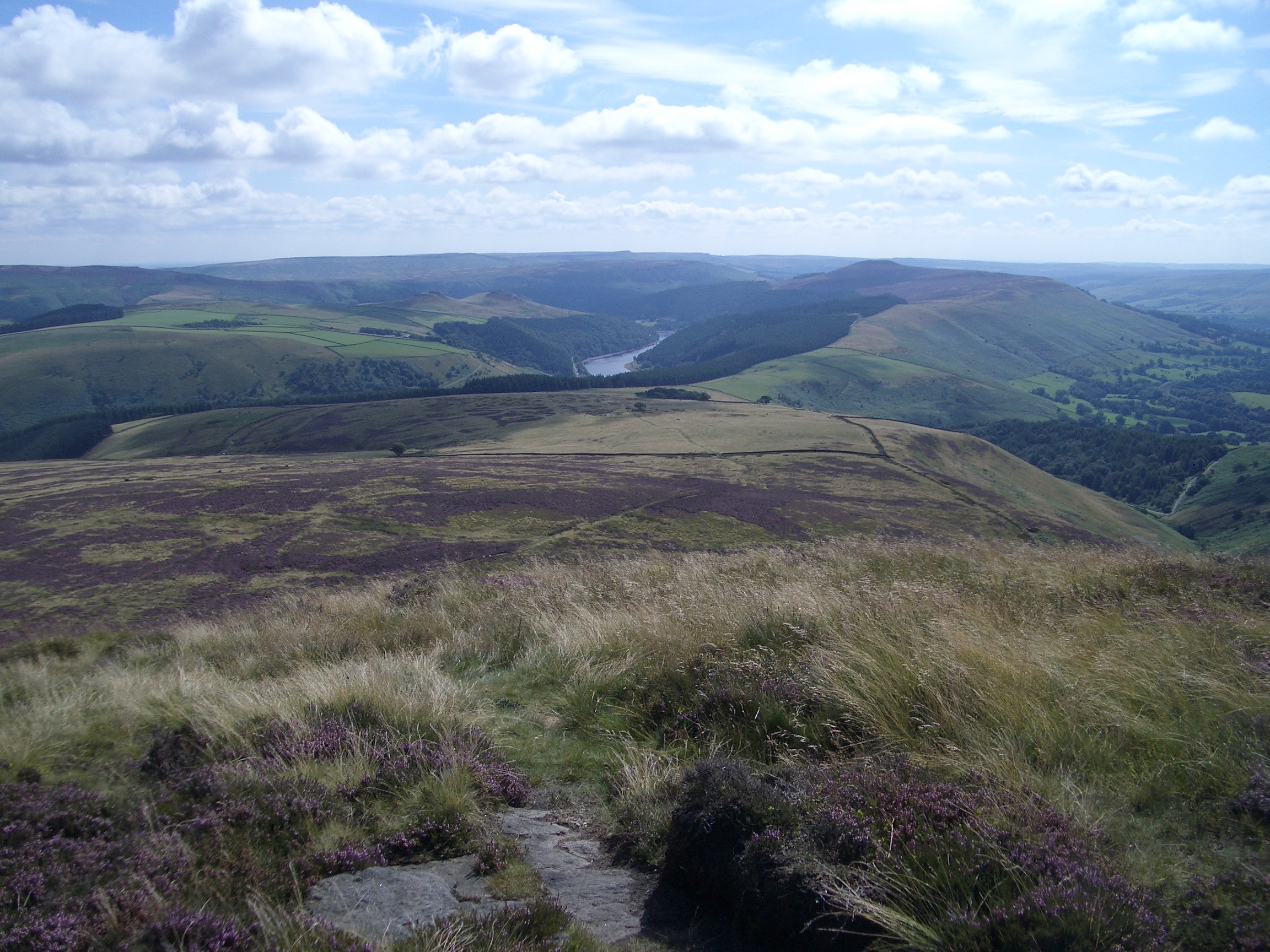
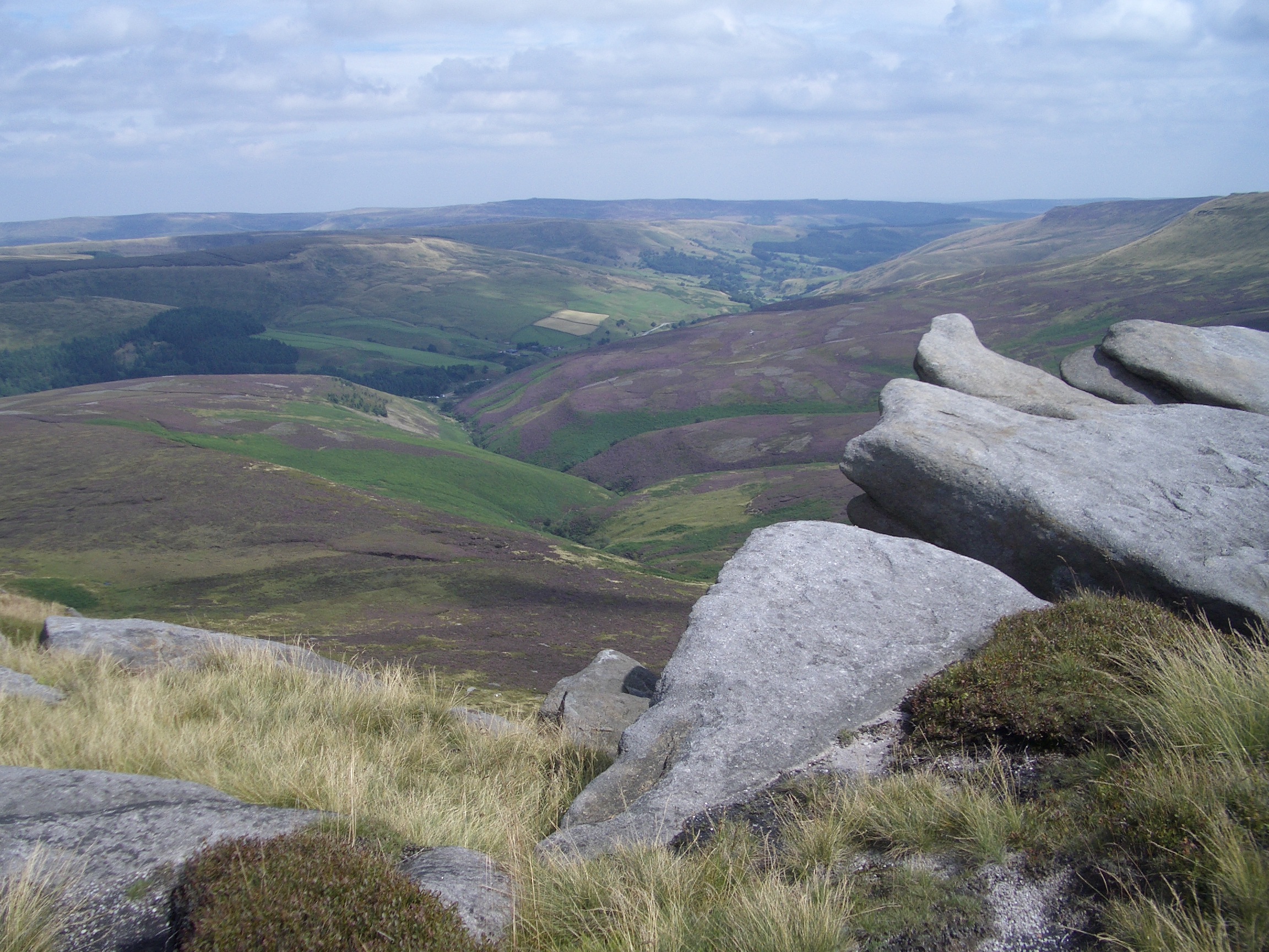
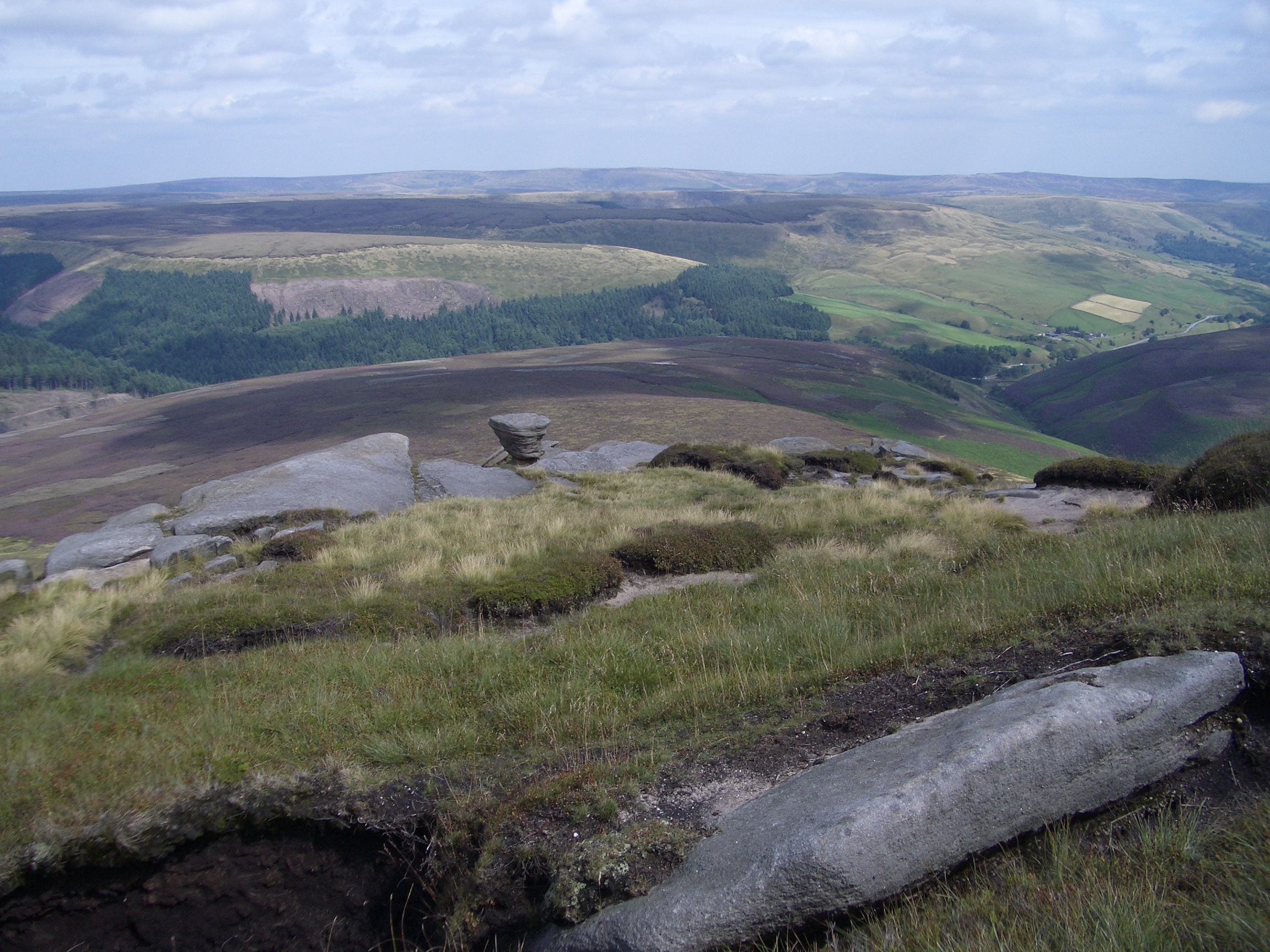
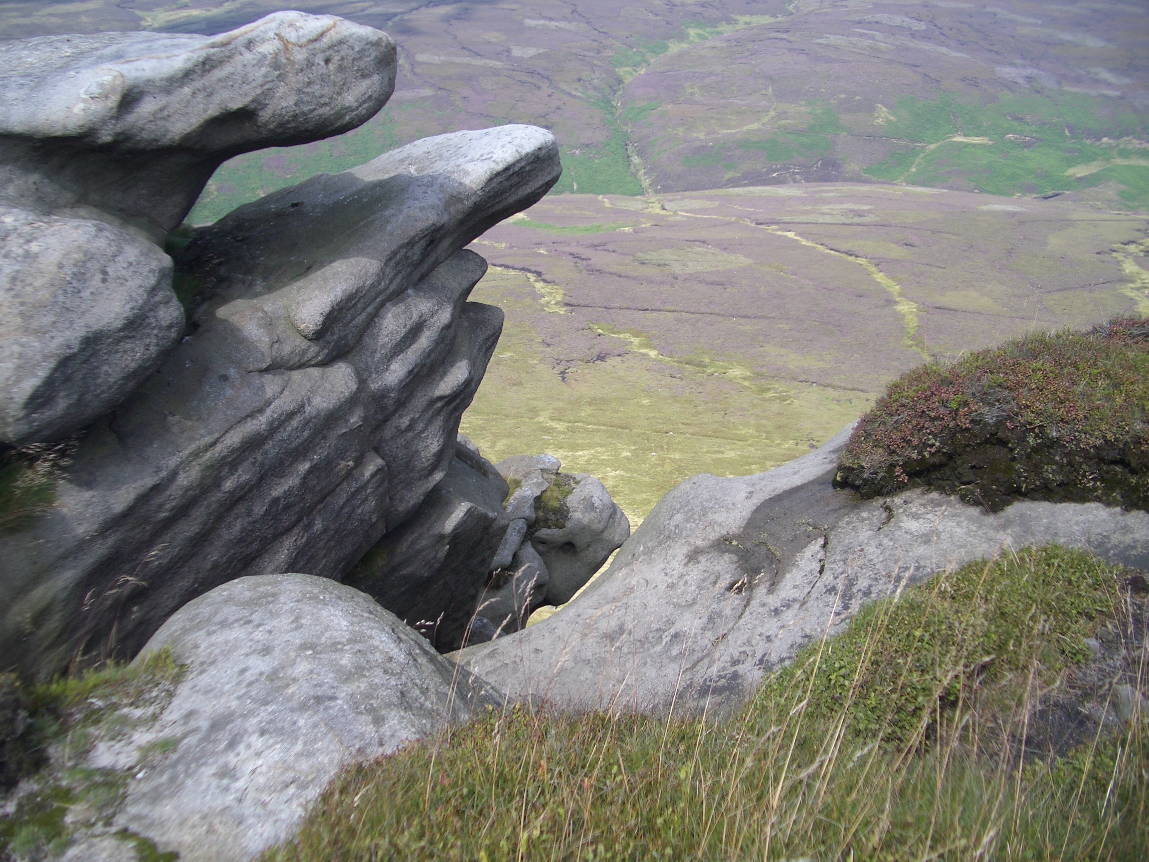
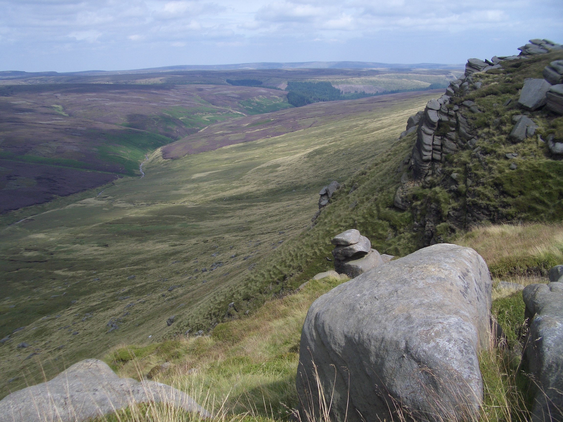
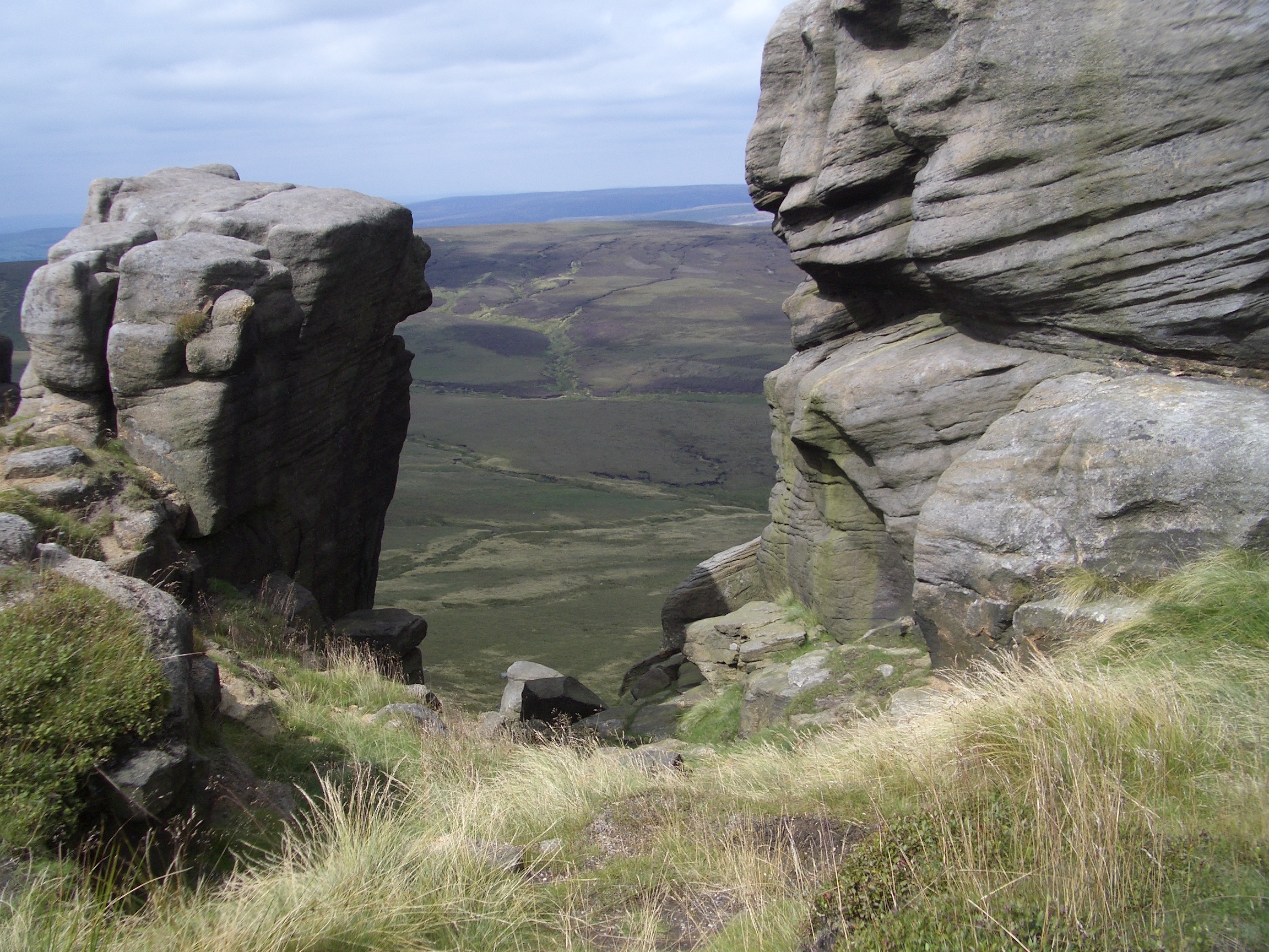
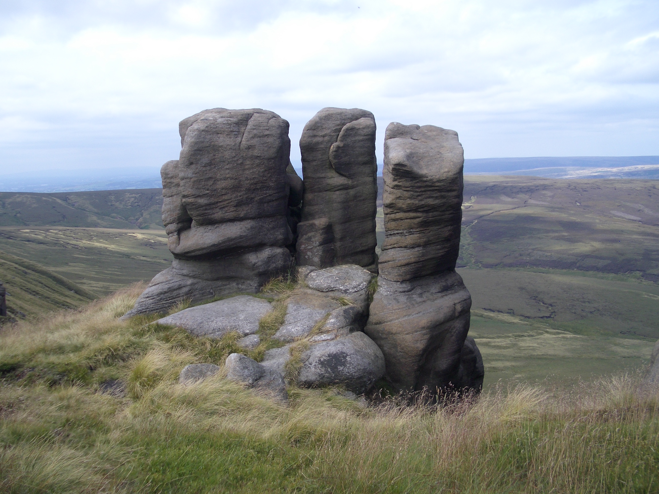
I then turned westward to continue along the north edge of Kinder Scout, along Blackden Edge and later Seal Edge. There were very few walkers on this part of the path, I think I only saw two people all afternoon, but the path was easy to follow nearly everywhere.
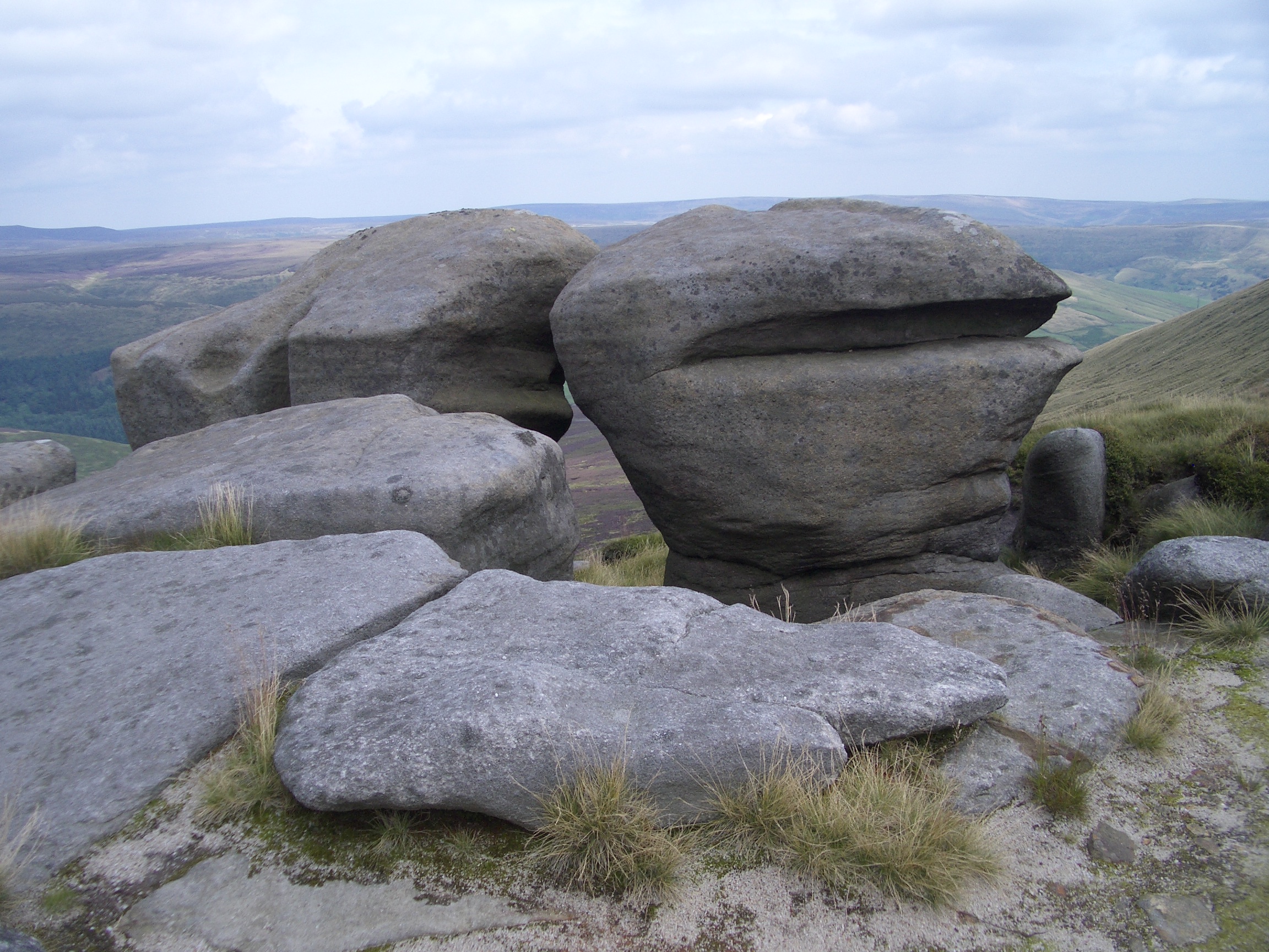
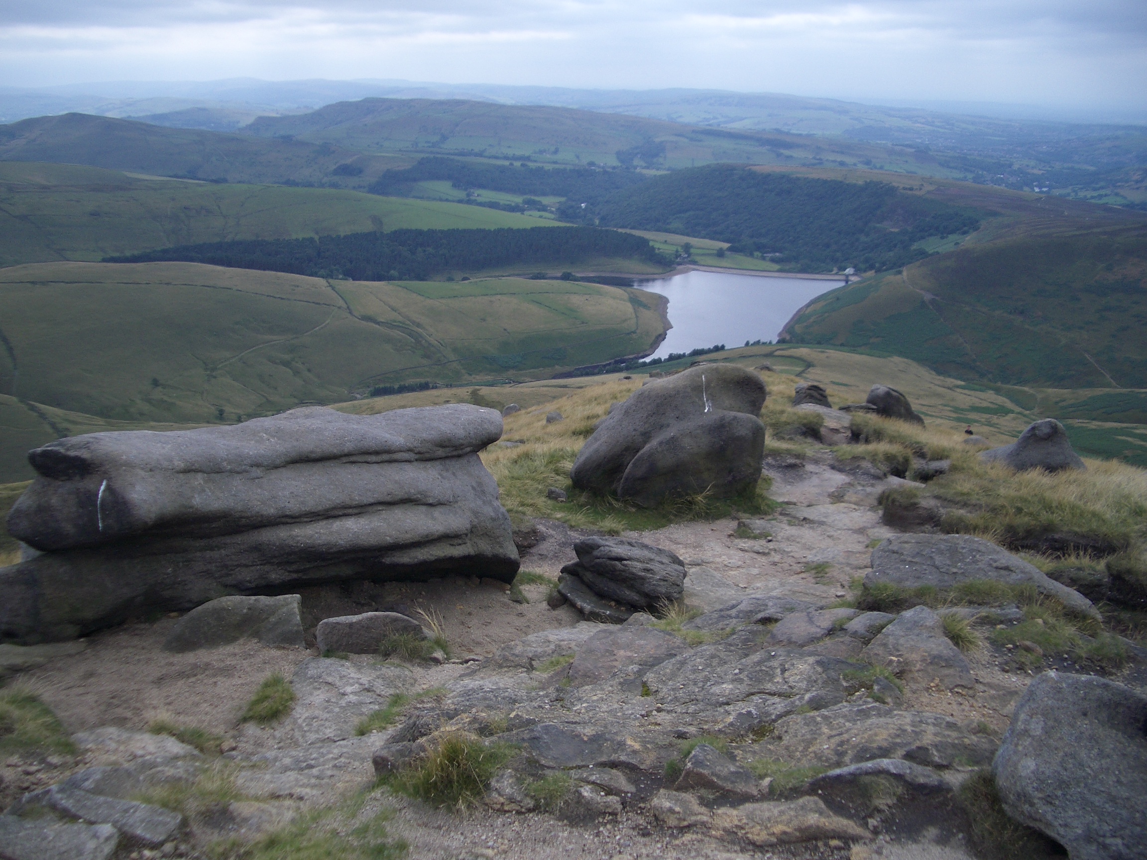
There are some unusual rock formations along this edge.
|
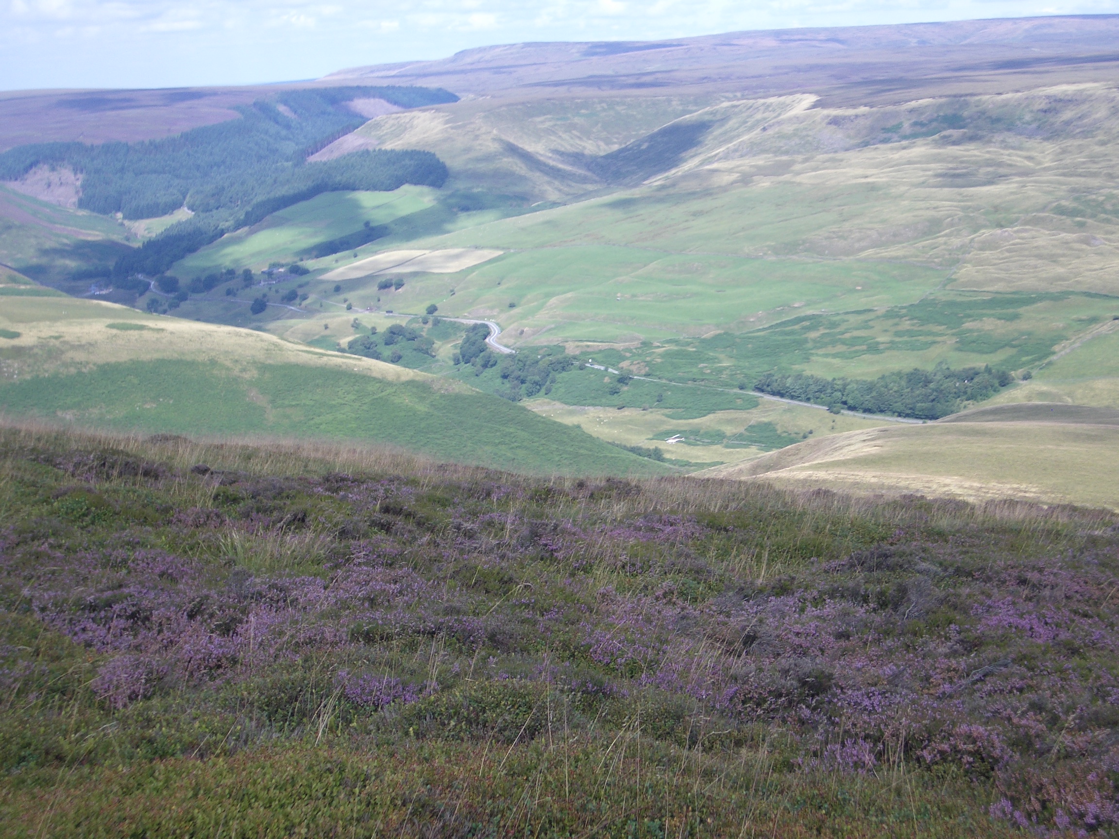
11:41 Snake Pass (the A57) from Blackden Edge

11:55 Across Seal Flats
13:00 Rocks near Seal Edge
13:11 Seal Flats
|
I stopped for lunch near here, and was able to take off my walking boots for a short time to give my feet a rest.
|
13:45 Near Fairbrook Naze
13:46 Down Fairbrook Naze
13:49 Near Fairbrook Naze
13:56 Near Fairbrook Naze
|
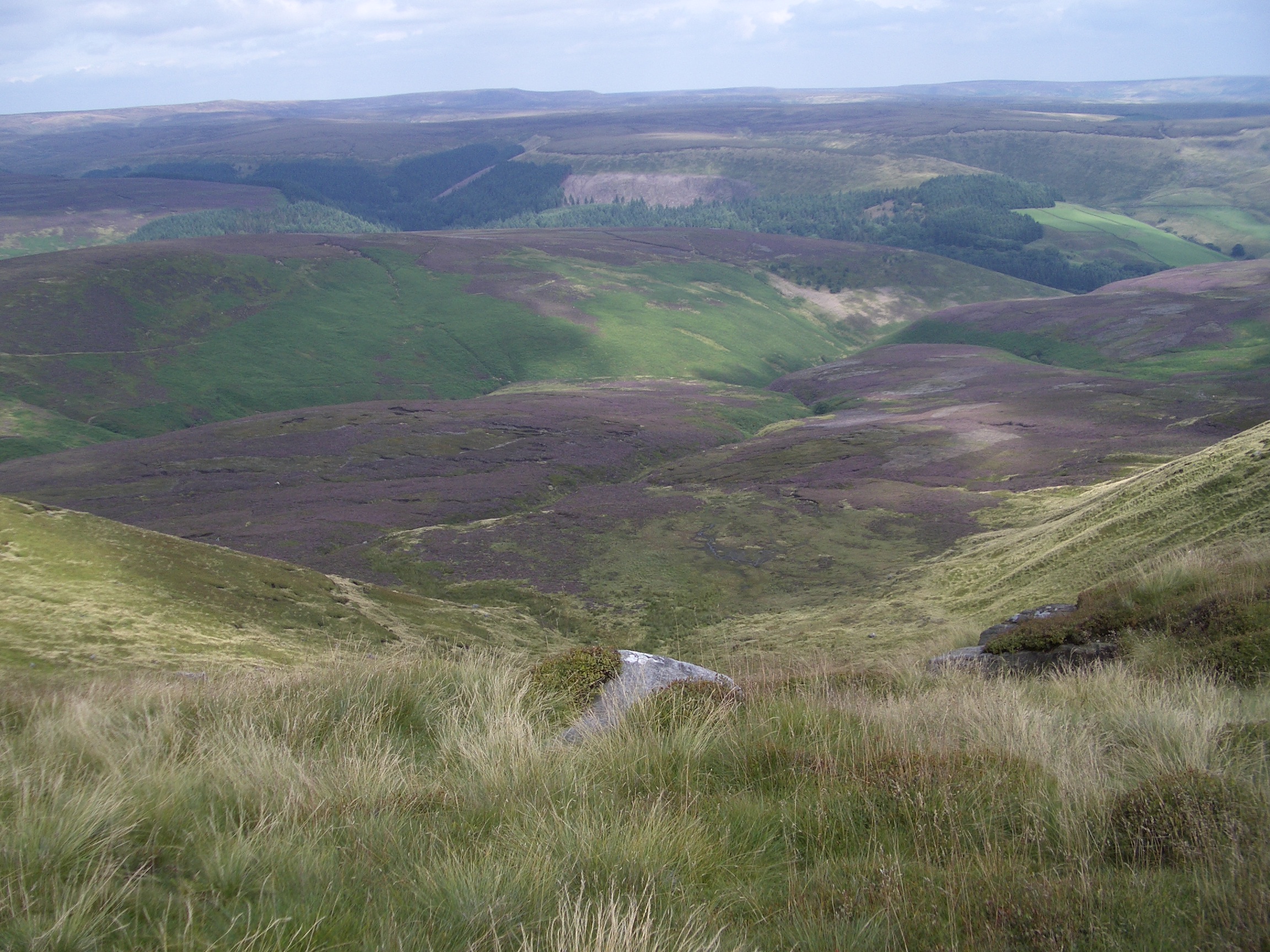
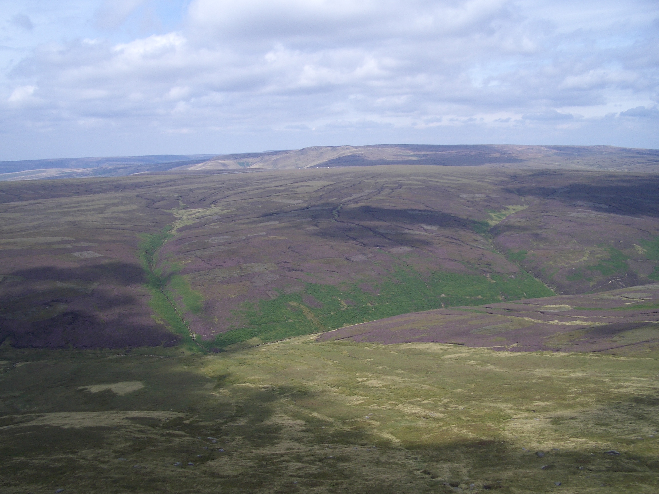
At Fairbrook Naze, I took my second unintentional diversion of the day and found myself going down the path into the stream below rather than following the edge path. Having crossed the stream, I could not find the path, so there was no point in going back, so I simply headed up the steep slope to where the edge path must be. This however was steeper than I expected, and in one or two places I was clutching large tufts of grass to prevent myself slipping back down. I also came across a rotting carcase of a dead sheep on the steep slope. I eventually found the edge path, almost at the place where the path turns west again.
|
14:03 From The Edge with Snake Pass Pennine Way crossing in distance
14:20 Ashop Clough
14:22 Rocks near Upper Red Brook
14:22 Rocks near Upper Red Brook
|
I reached the north-west point of the path about 2.30pm and could see the Pennine Way path going north to cross the Snake Pass. This was where I started seeing other walkers again.
|
14:37 Looking down to Mill Hill
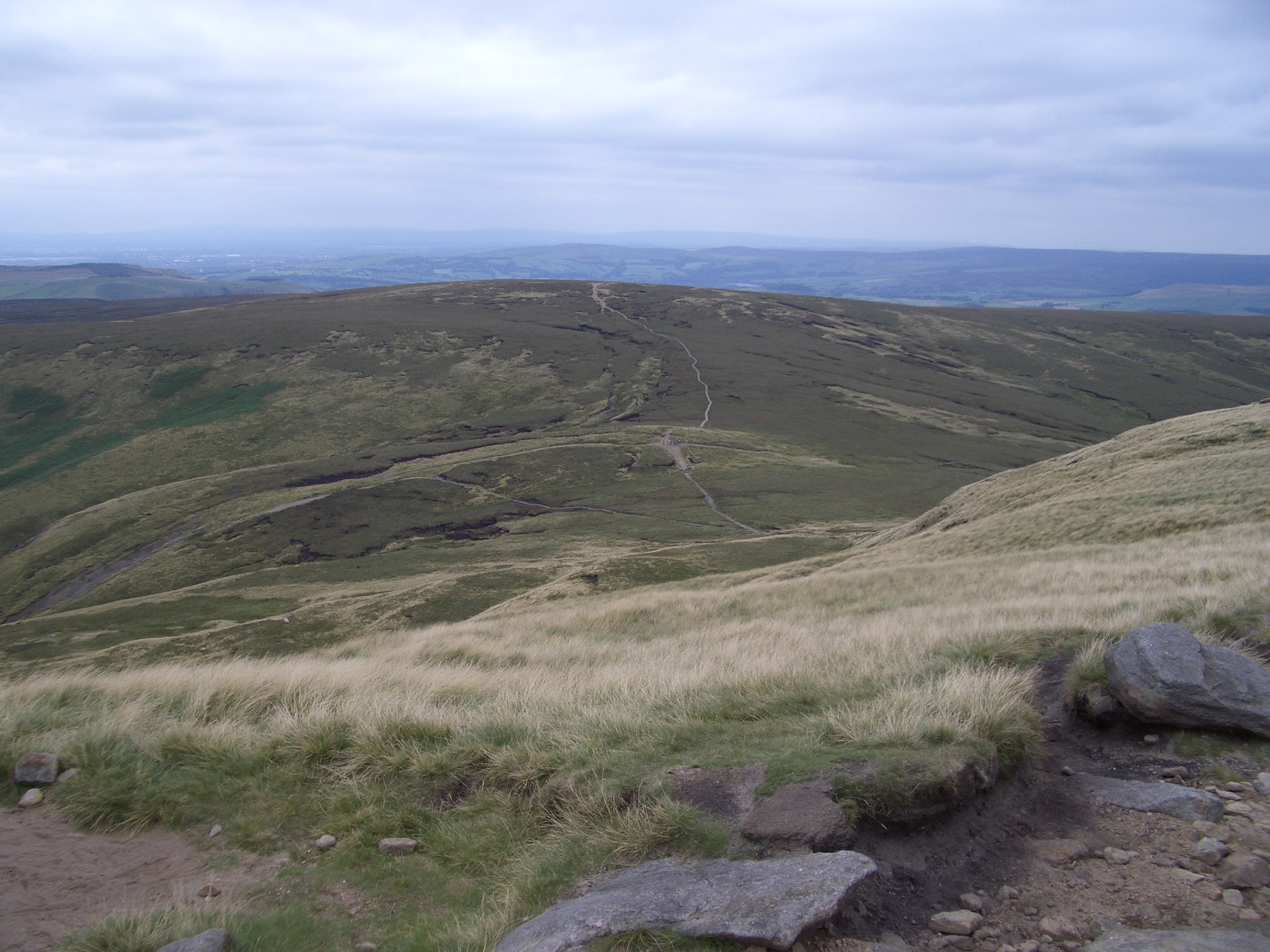
14:38 North-west corner to Mill Hill

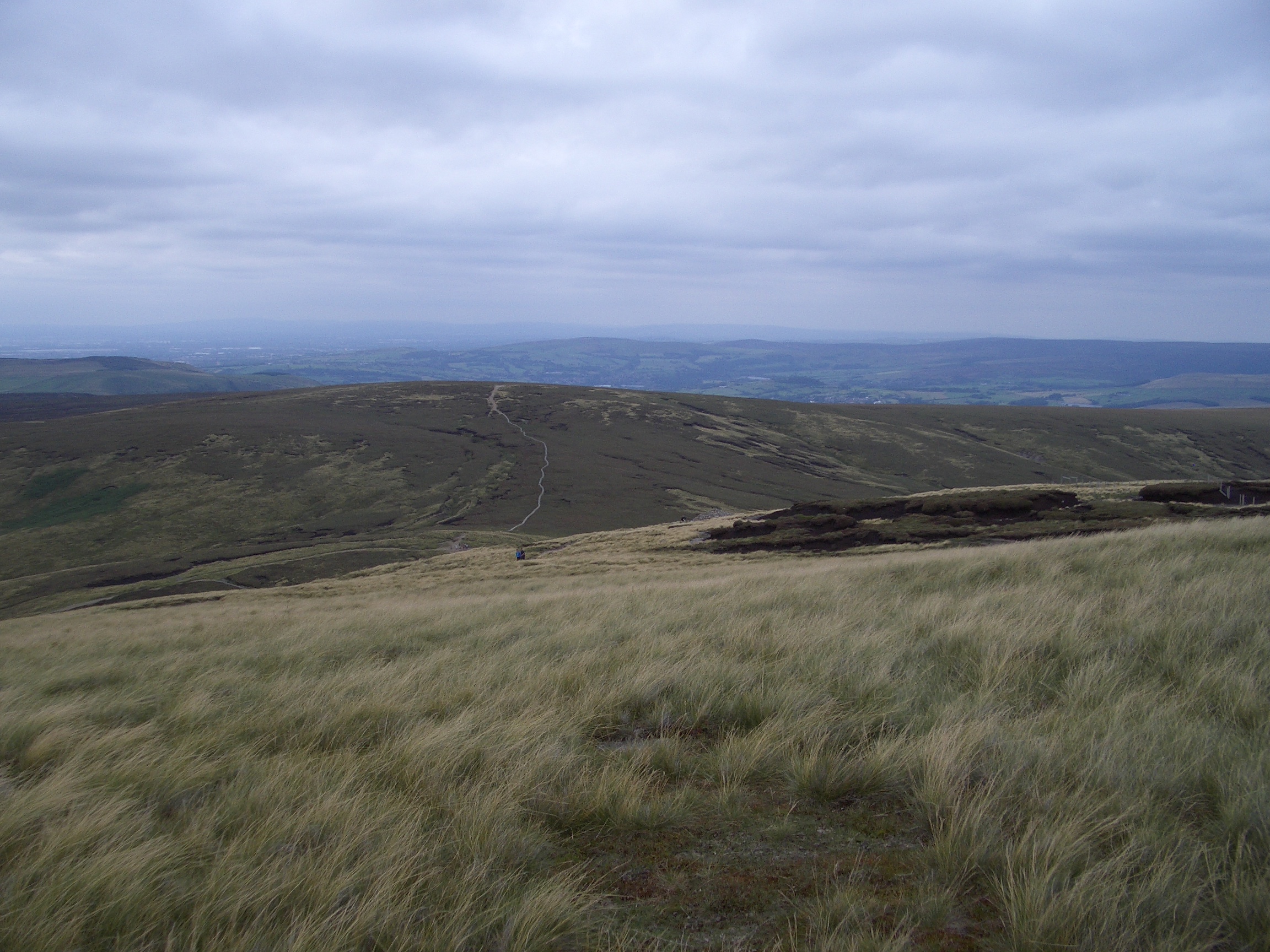
14:39 Manchester in distance
|
The view of the Kinder Reservoir was familiar to me from previous walks.
|
14:39 Kinder Reservoir
14:51 Kinder Reservoir
|
I stopped briefly for a snack, which attracted the interest of local wildlife.
|
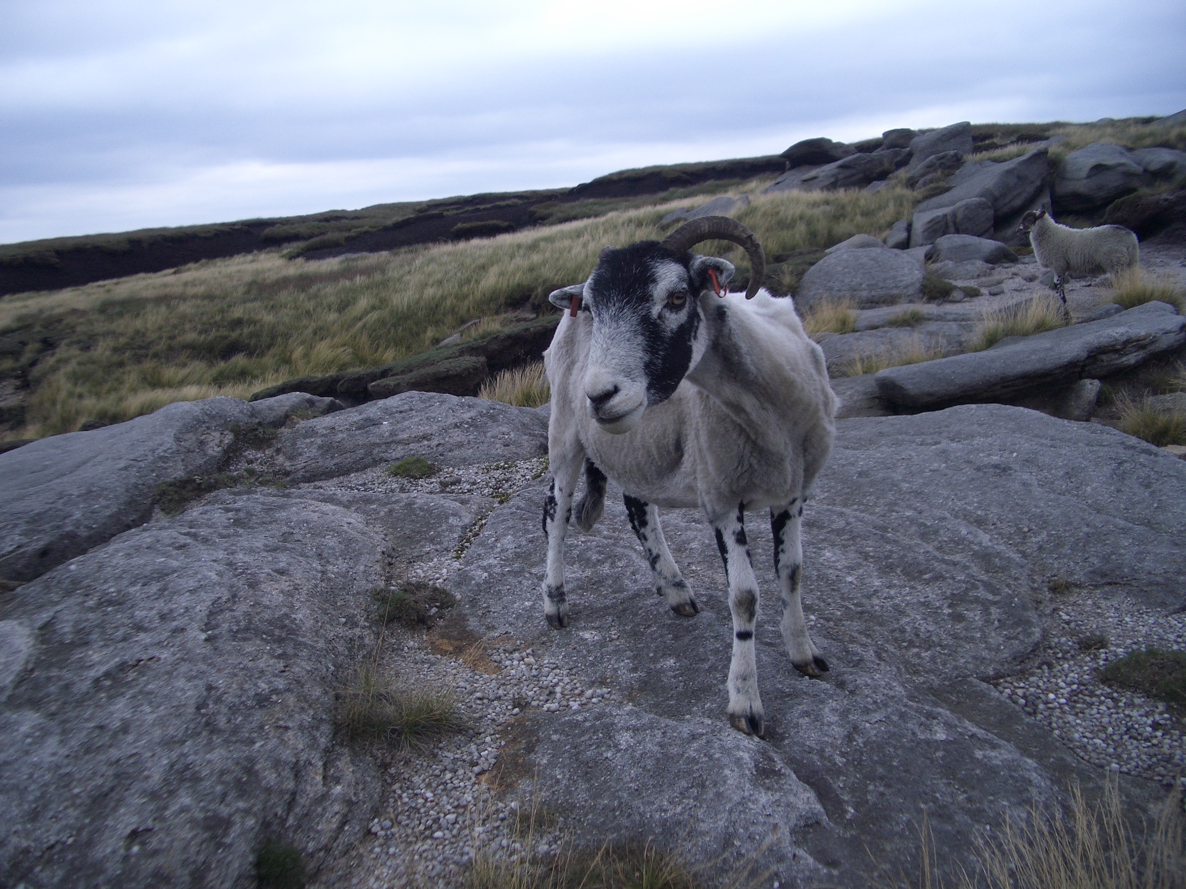
15:04 Sheep wants my snack
15:22 Kinder Downfall
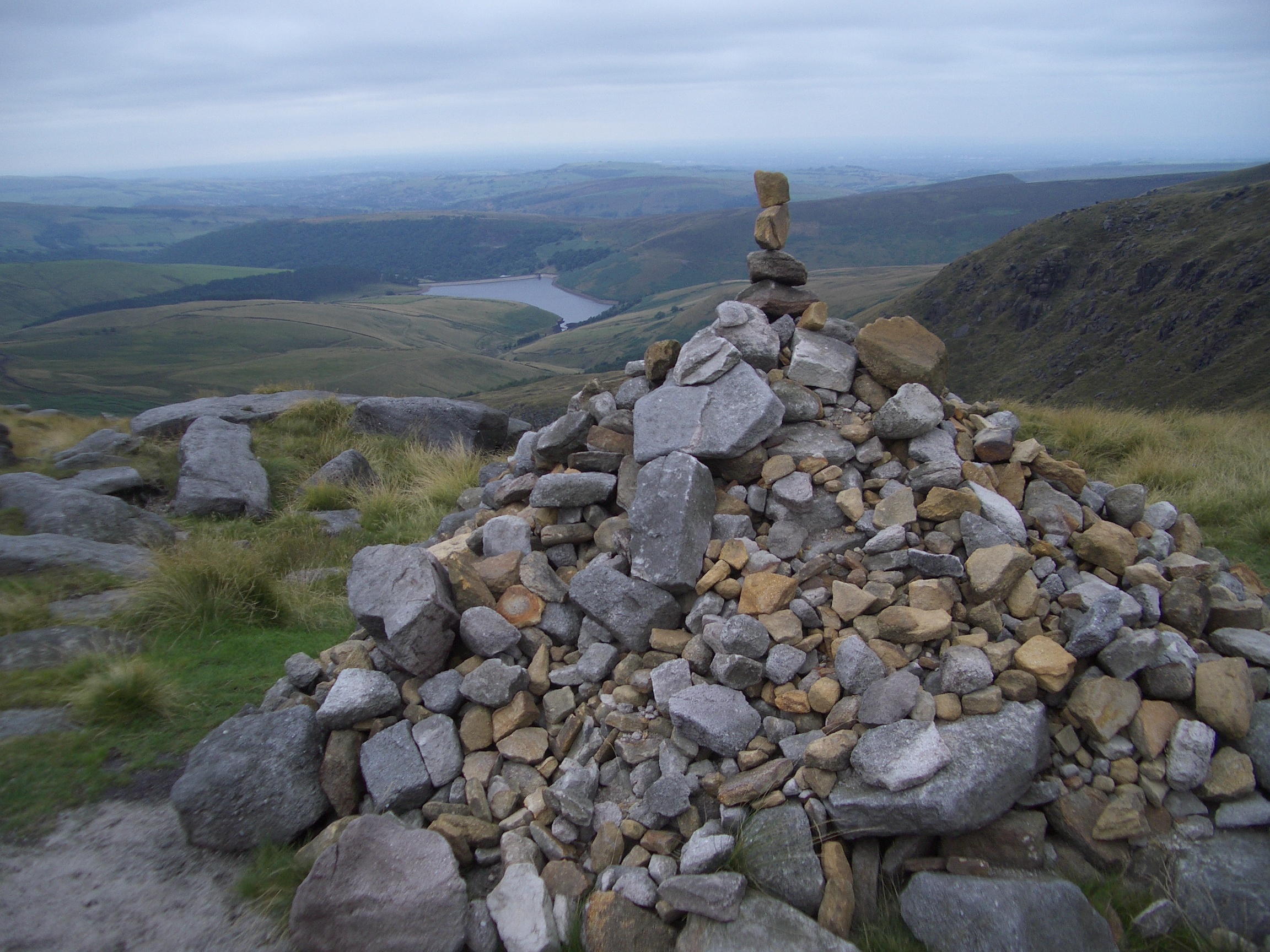
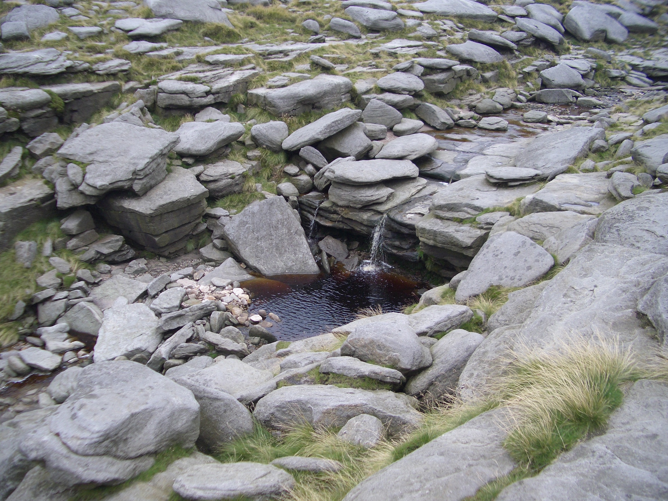
15:25 Cairn, recently added to
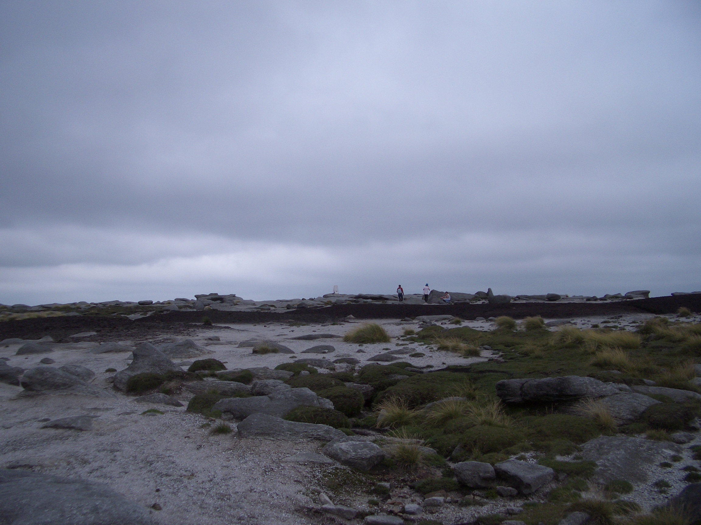
15:55 Kinder Low, rain on the way
|
I came down from the plateau from Kinder Low via Jacob s ladder and was back at my tent by 4.50pm.
|
Back at the tent with boots
| | | | | | | | | | | | | | |